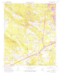
1961 Map of Alexander
USGS Topo · Published 1976About this map
Ellis Mountain and Big Rock anchor the central topography of this mid-century survey, which reveals the transition from rural Pulaski County to the expanding suburbs of Little Rock. The landscape is etched by the Missouri Pacific railroad line, which runs through the settlements of Alexander and Mabelvale. Local history is deeply embedded in the map's numerous landmarks, including Ida Mission Cem, New Haven Ch, and the State Girls Training Sch. The terrain is characterized by a dense network of watercourses like McHenry Creek and Fourche Creek, while aviation footprints are marked by the Garrett Landing Strip and Red Gate Landing Strip. Photorevisions from 1970 and 1975 highlight the period's growth, showing new urban developments encroaching upon traditional landmarks like Lawson Sch and Crystal Hill Ch.
Find a feature on this map
59 named features on this map. Tap any name to fly to it.
Don’t see what you’re looking for? This feature index may not catch every label — zoom into the map to look around manually.
Map Details
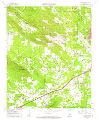
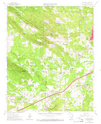
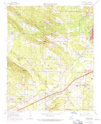
Editions of this 1961 Alexander Map
4 editions found
Other maps of this area

1890 · Benton
USGS Topo · 1:125,000

1891 · Little Rock
USGS Topo · 1:125,000

1893 · Little Rock
USGS Topo · 1:125,000

1894 · Benton
USGS Topo · 1:125,000

1935 · Little Rock
USGS Topo · 1:24,000

1935 · North Little Rock
USGS Topo · 1:24,000

1935 · Alexander
USGS Topo · 1:48,000

1938 · Benton
USGS Topo · 1:48,000

1941 · Alexander
USGS Topo · 1:62,500

1943 · Pinnacle Mtn
USGS Topo · 1:31,680