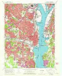
1965 Map of Alexandria
USGS Topo · Published 1971About this map
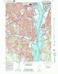
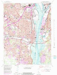
Pentagon and the Department of Defense stand at the northern edge of this urbanized corridor during a period of rapid mid-century expansion. The landscape is a dense network of suburban developments such as Arlington Heights, Parkfairfax, and Virginia Highlands, situated between the massive infrastructure of the Washington National Airport and the Richmond Fredericksburg and Potomac Railroad. The Potomac River dominates the eastern half, flanked by the Washington Channel and the Waterfowl Sanctuary at Roaches Run. Local history and genealogy are anchored by landmarks like Arlington National Cemetery and Mount Comfort Cemetery, alongside numerous vanished neighborhood schools like Hoffman Boston Jr High Sch and Barrett Sch. The map records the early configuration of the Capital Beltway as it intersects the Richmond Highway, illustrating the transition from traditional rail-based industry at Potomac Yards to the modern highway system that reshaped Northern Virginia.
Find a feature on this map
210 named features on this map. Tap any name to fly to it.
Don’t see what you’re looking for? This feature index may not catch every label — zoom into the map to look around manually.
Map Details
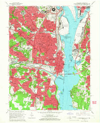
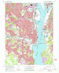
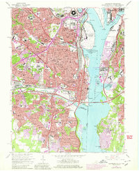
Editions of this 1965 Alexandria Map
6 editions found
Other maps of this area

1890 · Mt. Vernon
USGS Topo · 1:125,000

1891 · Mt. Vernon
USGS Topo · 1:125,000

1892 · Brandywine
USGS Topo · 1:62,500

1894 · Mt. Vernon
USGS Topo · 1:125,000

1895 · Brandywine
USGS Topo · 1:62,500

1897 · Mt. Vernon
USGS Topo · 1:125,000

1899 · Patuxent
USGS Topo · 1:125,000

1900 · Washington
USGS Topo · 1:62,500

1906 · Patuxent
USGS Topo · 1:125,000

1911 · Brandywine
USGS Topo · 1:62,500