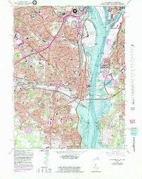
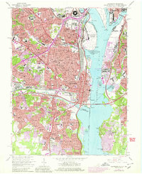
1965 Map of Alexandria
USGS Topo · Published 1983About this map
Arlington National Cemetery and the Pentagon dominate the northern landscape of this mid-century survey, capturing Northern Virginia during a period of intense suburban and federal expansion. The map detail illustrates the dense residential neighborhoods emerging between the Potomac River and the tracks of the Southern Railway, from established areas like Arlington Heights and Alcova Heights to the sprawling garden apartments of Parkfairfax and Shirlington.
Find a feature on this map
109 named features on this map. Tap any name to fly to it.
Don’t see what you’re looking for? This feature index may not catch every label — zoom into the map to look around manually.
Map Details
Editions of this 1965 Alexandria Map
6 editions found
Other maps of this area

1890 · Mt. Vernon
USGS Topo · 1:125,000

1891 · Mt. Vernon
USGS Topo · 1:125,000

1892 · Brandywine
USGS Topo · 1:62,500

1894 · Mt. Vernon
USGS Topo · 1:125,000

1895 · Brandywine
USGS Topo · 1:62,500

1897 · Mt. Vernon
USGS Topo · 1:125,000

1899 · Patuxent
USGS Topo · 1:125,000

1900 · Washington
USGS Topo · 1:62,500

1906 · Patuxent
USGS Topo · 1:125,000

1911 · Brandywine
USGS Topo · 1:62,500