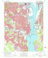
1965 Map of Alexandria
USGS Topo · Published 1977About this map
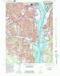
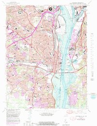
The Potomac River corridor reveals a mid-century landscape of rapid urbanization and massive federal infrastructure. Dominating the shoreline is Washington National Airport and the iconic Pentagon, while the northern banks of the Anacostia River show the concentrated development of Fort Mc Nair and St Elizabeths Hospital. This 1960s perspective captures Alexandria and Arlington at a moment of transition, showing the industrial density of the Potomac Yards rail facility alongside established residential neighborhoods like Arlington Village and Del Ray. Higher ground to the west is anchored by the historic Virginia Theological Seminary and several sprawling cemeteries including Alexandria National Cemetery and Mount Comfort Cemetery. The map documents the expanding highway network, with the Capital Beltway and Woodrow Wilson Memorial Bridge providing new connections across the water.
Find a feature on this map
200 named features on this map. Tap any name to fly to it.
Don’t see what you’re looking for? This feature index may not catch every label — zoom into the map to look around manually.
Map Details
Editions of this 1965 Alexandria Map
6 editions found
Other maps of this area

1890 · Mt. Vernon
USGS Topo · 1:125,000

1891 · Mt. Vernon
USGS Topo · 1:125,000

1892 · Brandywine
USGS Topo · 1:62,500

1894 · Mt. Vernon
USGS Topo · 1:125,000

1895 · Brandywine
USGS Topo · 1:62,500

1897 · Mt. Vernon
USGS Topo · 1:125,000

1899 · Patuxent
USGS Topo · 1:125,000

1900 · Washington
USGS Topo · 1:62,500

1906 · Patuxent
USGS Topo · 1:125,000

1911 · Brandywine
USGS Topo · 1:62,500