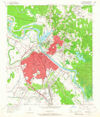
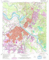
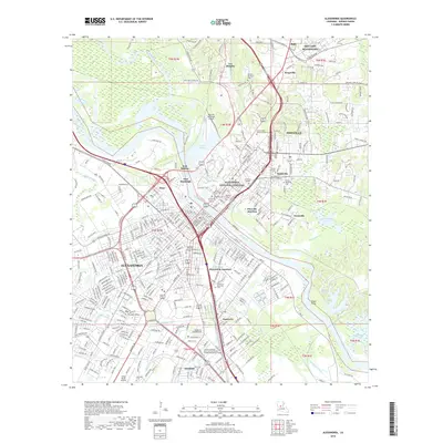
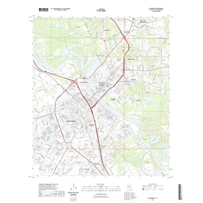
1953 Map of Alexandria
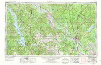
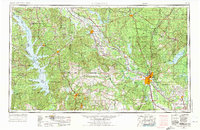
USGS Topo · Published 1975About this map
Alexandria and Pineville anchor the heart of Central Louisiana in this mid-century survey, sitting at a critical bend where the Red River transitions through the floodplain. The landscape is defined by the massive expansion of the Toledo Bend Reservoir along the western border and the sprawling woodlands of the Kisatchie National Forest. The presence of England Air Force Base and Fort Polk Military Reservation reflects the region's significant military footprint during the Cold War era.
Find a feature on this map
108 named features on this map. Tap any name to fly to it.
Don’t see what you’re looking for? This feature index may not catch every label — zoom into the map to look around manually.
Map Details
Editions of this 1953 Alexandria Map
3 editions found

Historical Maps of Alexandria Through Time
13 maps found

1941 Alexandria
Rapides Parish, LA
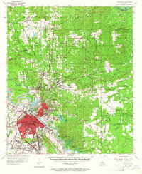
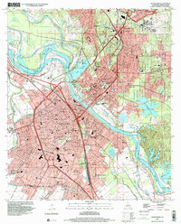
1953 Alexandria
Rapides Parish, LA

1955 Alexandria
Rapides Parish, LA
1957 Alexandria
Rapides Parish, LA
1957 Alexandria
Rapides Parish, LA
1972 Alexandria
Rapides Parish, LA

1986 Alexandria
Rapides Parish, LA
1998 Alexandria
Rapides Parish, LA
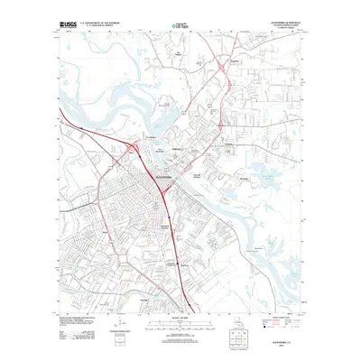
2012 Alexandria
Rapides Parish, LA
2015 Alexandria
Rapides Parish, LA
2018 Alexandria
Rapides Parish, LA
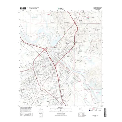
2021 Alexandria
Rapides Parish, LA
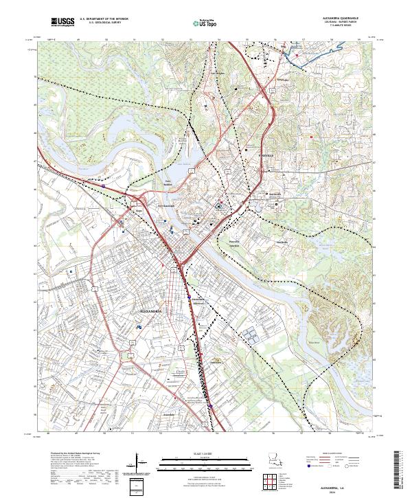
2024 Alexandria
Rapides Parish, LA