Loading...
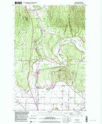
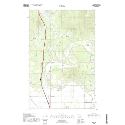
Loading map...1952 Map of Alger
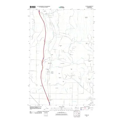
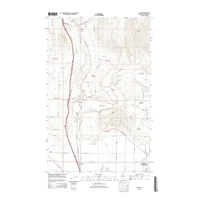
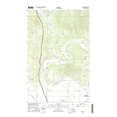
USGS Topo · Published 1969About this map
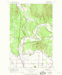
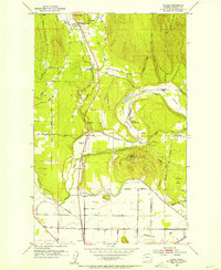
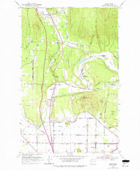
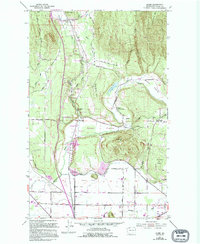
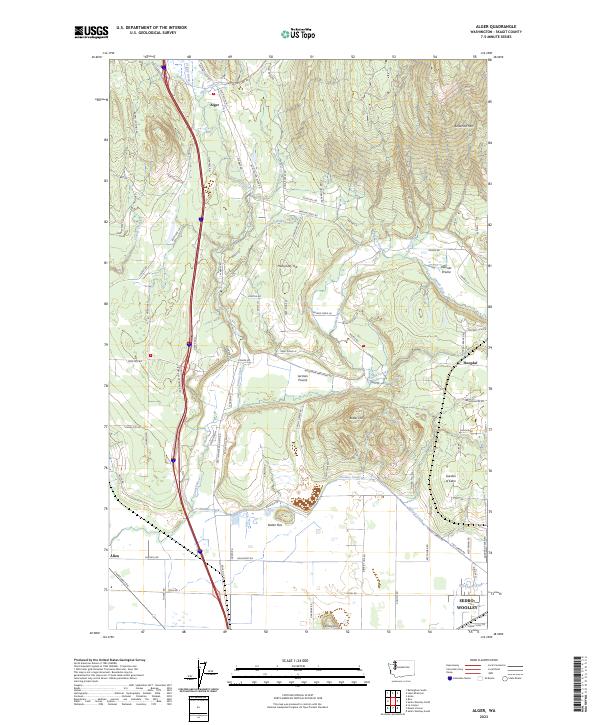
Alger serves as a focal point for this landscape where the Northern Pacific and Great Northern railroads converge near the Samish River. The map captures a transition from the agricultural expanses of Samish Prairie and Warner Prairie to the timbered heights of Anderson Mtn and Humphrey Hill. Local community life is documented through landmarks like the Silver Run Grange and the Hickson Community Hall, while the educational history of the area is noted by the Belfast Sch (Aban'd).
Find a feature on this map
41 named features on this map. Tap any name to fly to it.
Don’t see what you’re looking for? This feature index may not catch every label — zoom into the map to look around manually.
Map Details
Date Portrayed1952
Date Published1969
PublisherU.S. Geological Survey
Map TypeTopographic
Scale1:24,000
Physical Dimensions22.1 x 26.9 inches
Editions of this 1952 Alger Map
4 editions found
Historical Maps of Sedro-Woolley Through Time
7 maps found
Featured Locations
Source Details
SourceU.S. Geological Survey
CopyrightPublic Domain