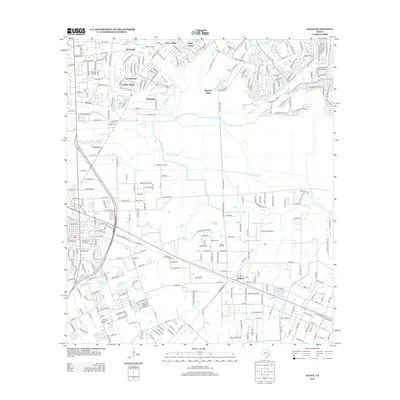
2013 Map of Algoa
USGS Topo · Published 2013About this map
Algoa anchors this coastal plain landscape south of Houston, situated where the historic rail corridor meets a network of vital waterways. The map illustrates a transition from established energy production at the Hastings Oil Field and Algoa Oil Field to expanding residential developments like Windsong, Carmel Village, and Sun Meadow. The terrain is defined by the winding paths of Dickinson Bayou, Mustang Bayou, and Chigger Cr, which dictate the placement of local roads and property lines. Beyond the residential clusters, the presence of the Kami-Kazi Airport and the Magnolia Cem provide specific points of interest for local historians. Infrastructure such as the American Canal highlights the managed water systems necessary for the region's agricultural and industrial history.
Find a feature on this map
264 named features on this map. Tap any name to fly to it.
Don’t see what you’re looking for? This feature index may not catch every label — zoom into the map to look around manually.
Map Details
Editions of this 2013 Algoa Map
This is the sole edition of this map. No revisions or reprints were ever made.
Other maps of this area

1916 · Genoa
USGS Topo · 1:24,000

1916 · Seabrook
USGS Topo · 1:24,000

1920 · Seabrook
USGS Topo · 1:31,680

1920 · Genoa
USGS Topo · 1:31,680

1920 · Mykawa
USGS Topo · 1:31,680

1929 · Dickinson
USGS Topo · 1:24,000

1929 · Algoa
USGS Topo · 1:24,000

1929 · Hitchcock
USGS Topo · 1:24,000

1932 · Algoa
USGS Topo · 1:31,680
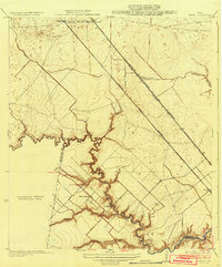
1932 · Genoa
USGS Topo · 1:31,680