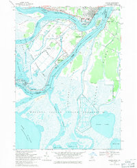
1968 Map of Algonac
USGS Topo · Published 1971About this map
The complex delta of the St. Clair River, where the United States Canada border weaves through a labyrinth of channels and islands, dominates this 1968 survey. The landscape is defined by the St Clair Flats State Wildlife Area and the extensive Walpole Island Indian Reserve 46 on the Canadian side. Settlement is concentrated along the waterways, with summer colonies and year-round communities like Sans Souci, Grande Pointe, and Algonac accessible by ferry and river traffic.
Find a feature on this map
55 named features on this map. Tap any name to fly to it.
Don’t see what you’re looking for? This feature index may not catch every label — zoom into the map to look around manually.
Map Details
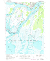
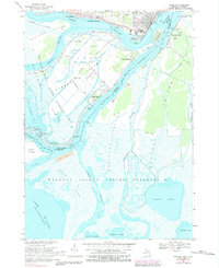
Editions of this 1968 Algonac Map
3 editions found
Other maps of this area

1914 · Algonac
USGS Topo · 1:62,500

1936 · New Baltimore
USGS Topo · 1:31,680

1936 · Algonac
USGS Topo · 1:31,680

1939 · New Baltimore
USGS Topo · 1:24,000

1939 · Marine City
USGS Topo · 1:24,000
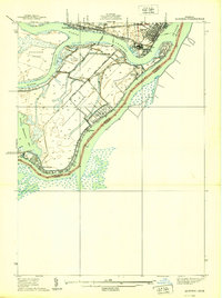
1939 · Algonac
USGS Topo · 1:24,000
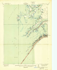
1939 · St. Clair Flats
USGS Topo · 1:24,000

1949 · St. Clair Flats
USGS Topo · 1:24,000
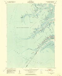
1952 · St. Clair Flats
USGS Topo · 1:24,000
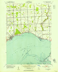
1952 · New Baltimore
USGS Topo · 1:24,000