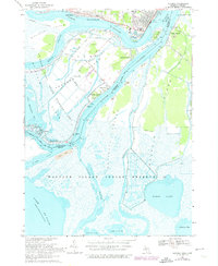
1968 Map of Algonac
USGS Topo · Published 1974About this map
Algonac sits at a major hydraulic junction where the St Clair River splits into a complex delta of islands and marshes before entering Lake St Clair. This 1968 survey, revised with 1973 photogrammetry, details the international boundary as it threads through the North Channel and South Channel, separating the Michigan mainland from the sprawling Walpole Island Indian Reserve 46. The landscape is a mix of maritime industry and recreation, featuring both U.S. Customs and Canadian Customs stations alongside the Mid Channel Country Club and Camp Farwell. On Harsens Island, small settlements like Sans Souci and Maple Leaf are clustered along the shorelines, served by the Harsens Island Sch and St Mark Ch. Much of the lower delta is preserved within the St Clair Flats State Wildlife Area, where a labyrinth of smaller waterways like the Bassett Channel and Chematogan Channel define the low-lying terrain.
Find a feature on this map
57 named features on this map. Tap any name to fly to it.
Don’t see what you’re looking for? This feature index may not catch every label — zoom into the map to look around manually.
Map Details
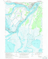
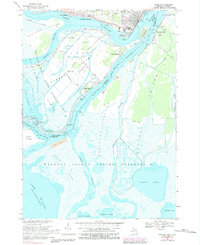
Editions of this 1968 Algonac Map
3 editions found
Other maps of this area

1914 · Algonac
USGS Topo · 1:62,500

1936 · New Baltimore
USGS Topo · 1:31,680

1936 · Algonac
USGS Topo · 1:31,680

1939 · New Baltimore
USGS Topo · 1:24,000

1939 · Marine City
USGS Topo · 1:24,000
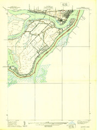
1939 · Algonac
USGS Topo · 1:24,000
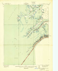
1939 · St. Clair Flats
USGS Topo · 1:24,000

1949 · St. Clair Flats
USGS Topo · 1:24,000
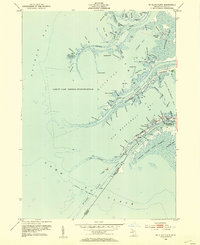
1952 · St. Clair Flats
USGS Topo · 1:24,000
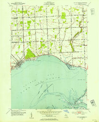
1952 · New Baltimore
USGS Topo · 1:24,000