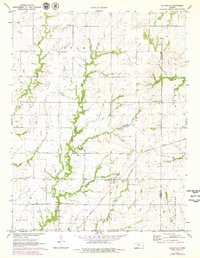
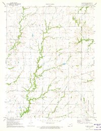
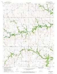
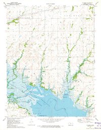
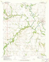
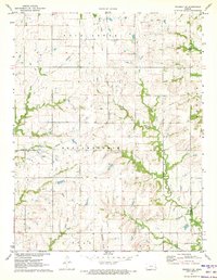
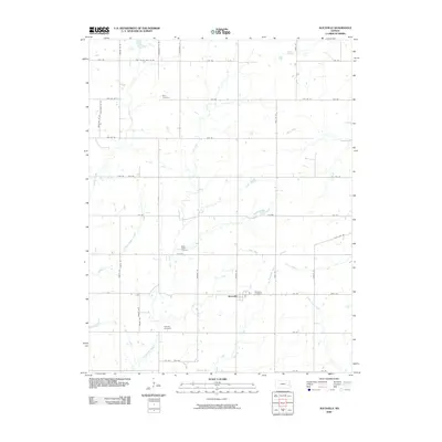
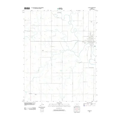
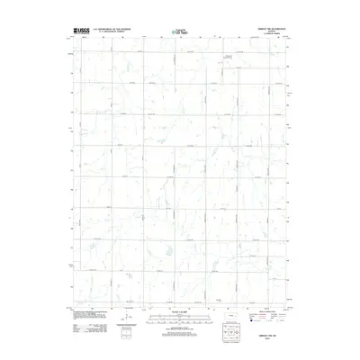
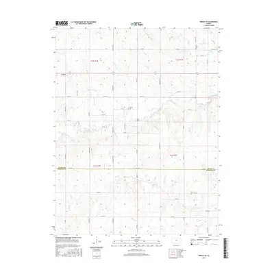
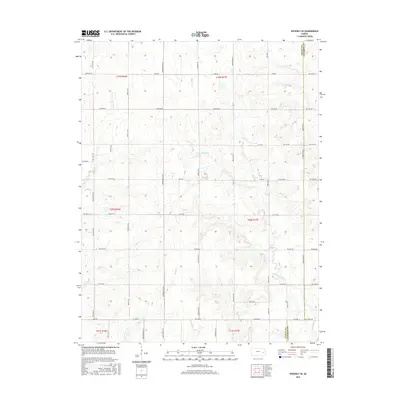
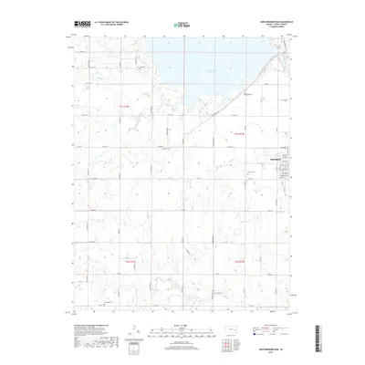
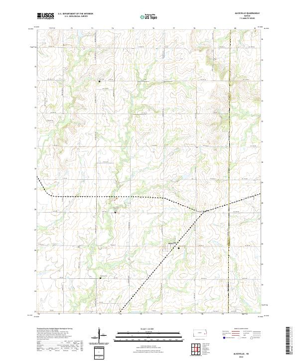
1971 Map of Aliceville
USGS Topo · Published 1979About this map
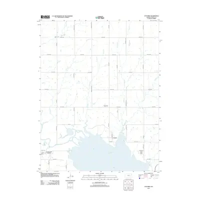
Aliceville serves as the central hub of this eastern Kansas landscape, situated where the Missouri Pacific railroad cuts across the agricultural plains of Coffey County. The region is defined by its rural community structure, with small family burial grounds and country congregations marking the townships of Star, Avon, and Spring Creek. Waterways like Scott Creek and the meandering Crooked Creek provide natural drainage and determine the local topography, while the boundary with Westphalia in Anderson County is clearly delineated to the east. For those tracing family histories in the area, the map preserves the locations of several important local landmarks, including the Scott Valley Ch and well-established cemeteries such as Altamont Cem and Quisling Cem, which speak to the generations of settlers who farmed these section-line divided lands.
Find a feature on this map
23 named features on this map. Tap any name to fly to it.
Don’t see what you’re looking for? This feature index may not catch every label — zoom into the map to look around manually.
Map Details
Editions of this 1971 Aliceville Map
2 editions found
Historical Maps of Aliceville Through Time
42 maps found
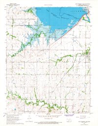
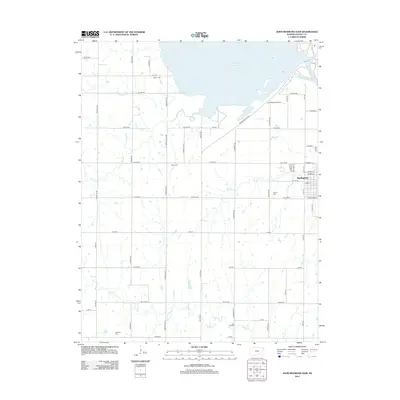
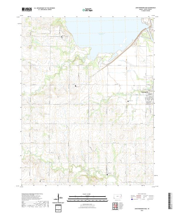
1966 John Redmond Dam
Coffey County, KS
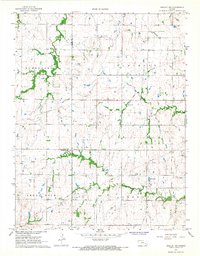
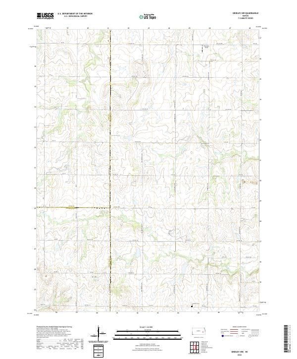
1967 Gridley NW
Coffey County, KS
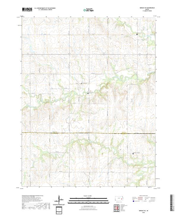
1967 Gridley SE
Coffey County, KS
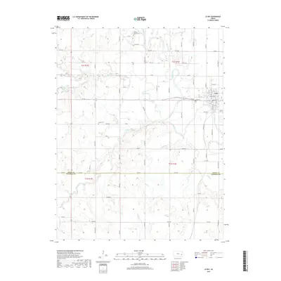
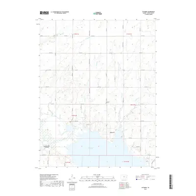
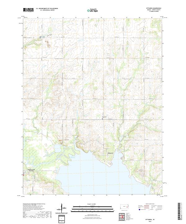
1970 Ottumwa
Coffey County, KS
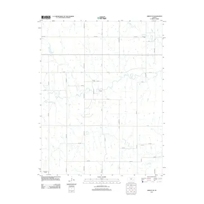
1971 Aliceville
Coffey County, KS
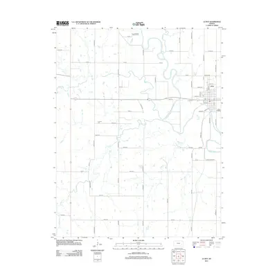
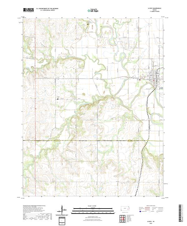
1971 Le Roy
Coffey County, KS
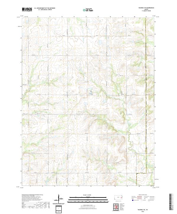
1971 Waverly SE
Coffey County, KS
2009 Aliceville
Coffey County, KS
2009 Gridley NW
Coffey County, KS
2009 Gridley SE
Coffey County, KS
2009 John Redmond Dam
Coffey County, KS
2009 Le Roy
Coffey County, KS
2009 Ottumwa
Coffey County, KS
2009 Waverly SE
Coffey County, KS
2012 Aliceville
Coffey County, KS
2012 Gridley NW
Coffey County, KS
2012 Gridley SE
Coffey County, KS
2012 John Redmond Dam
Coffey County, KS
2012 Le Roy
Coffey County, KS
2012 Ottumwa
Coffey County, KS
2012 Waverly SE
Coffey County, KS
2015 Aliceville
Coffey County, KS
2015 Gridley NW
Coffey County, KS
2015 Gridley SE
Coffey County, KS
2015 John Redmond Dam
Coffey County, KS
2015 Le Roy
Coffey County, KS
2015 Ottumwa
Coffey County, KS
2015 Waverly SE
Coffey County, KS
2018 Aliceville
Coffey County, KS
2018 Gridley NW
Coffey County, KS
2018 Gridley SE
Coffey County, KS
2018 John Redmond Dam
Coffey County, KS
2018 Le Roy
Coffey County, KS
2018 Ottumwa
Coffey County, KS
2018 Waverly SE
Coffey County, KS
2022 Aliceville
Coffey County, KS
2022 Gridley NW
Coffey County, KS
2022 Gridley SE
Coffey County, KS
2022 John Redmond Dam
Coffey County, KS
2022 Le Roy
Coffey County, KS
2022 Ottumwa
Coffey County, KS
2022 Waverly SE
Coffey County, KS