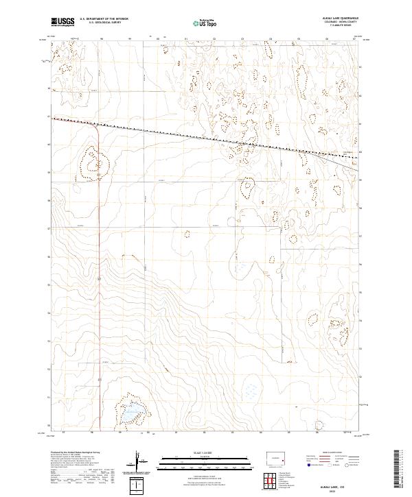
2022 Map of Alkali Lake
USGS Topo · Published 2022About this map
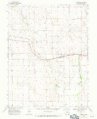
Alkali Lake serves as a central feature within this portion of Kiowa County, highlighting the intermittent water sources and high-plains geography of eastern Colorado. The surrounding landscape is defined by the elevation at Chivington Hill and a strictly regulated grid of local transit routes, including Co RD T and Co RD 47. This modern 2022 survey documents the contemporary land management boundaries of townships t18s r48w and t19s r47w, showing a sparse human footprint primarily organized around section lines and ranch access. The terrain is characterized by subtle topographical shifts and expansive basins typical of the region's semi-arid environment.
Find a feature on this map
16 named features on this map. Tap any name to fly to it.
Don’t see what you’re looking for? This feature index may not catch every label — zoom into the map to look around manually.
Map Details
Editions of this 2022 Alkali Lake Map
This is the sole edition of this map. No revisions or reprints were ever made.
Other maps of this area

1891 · Kit Carson
USGS Topo · 1:125,000

1892 · Lamar
USGS Topo · 1:125,000

1893 · Kit Carson
USGS Topo · 1:125,000

1954 · Lamar
USGS Topo · 1:250,000

1958 · Lamar
USGS Topo · 1:250,000

1967 · Neenoshe Reservoir
USGS Topo · 1:24,000
1968 · Alkali Lake
USGS Topo · 1:24,000
1968 · Chivington SE
USGS Topo · 1:24,000
1968 · Swede Lake
USGS Topo · 1:24,000
1968 · Chivington
USGS Topo · 1:24,000