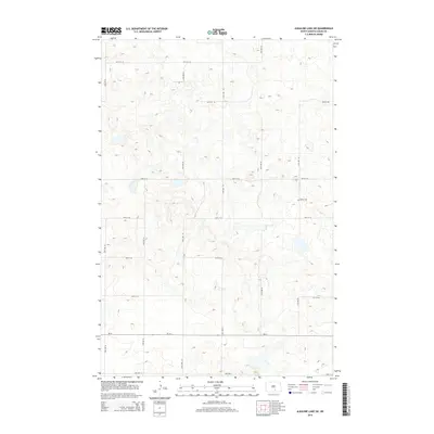
2014 Map of Alkaline Lake SW
USGS Topo · Published 2014About this map
Salem Cem serves as a primary historical waypoint in this rural Logan County landscape, situated amidst a dense network of prairie potholes and wetlands. The terrain is defined by its glaciated topography, where numerous small, unnamed water bodies dot the township, illustrating the characteristic drainage patterns of the region. A strict section-line road grid, including routes like 37th Ave SE and 55th St SE, organizes the agricultural interior. The east-west corridor of Nd-34 cuts across the southern portion of the quadrangle, providing the main arterial connection through this sparsely settled area. This 2014 survey captures the landscape just before the southern edge meets Lake Ave E, preserving the placement of local landmarks and the persistent rural infrastructure of Glendale Township.
Find a feature on this map
16 named features on this map. Tap any name to fly to it.
Don’t see what you’re looking for? This feature index may not catch every label — zoom into the map to look around manually.
Map Details
Editions of this 2014 Alkaline Lake SW Map
This is the sole edition of this map. No revisions or reprints were ever made.
Other maps of this area

1953 · Jamestown
USGS Topo · 1:250,000

1956 · Jamestown
USGS Topo · 1:250,000

1979 · Kintyre NE
USGS Topo · 1:24,000

1979 · McKenna Lake South
USGS Topo · 1:24,000

1980 · McKenna Lake North
USGS Topo · 1:24,000

1982 · Wishek NE
USGS Topo · 1:24,000

1982 · Burnstad
USGS Topo · 1:24,000

1983 · Alkaline Lake SW
USGS Topo · 1:24,000

1983 · Alkaline Lake
USGS Topo · 1:24,000

1983 · Alkaline Lake NW
USGS Topo · 1:24,000