
1945 Map of Allanton
USGS Topo · Published 1945About this map
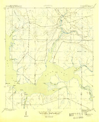
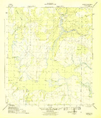
Allanton and Farmdale sit at the center of this 1940s coastal landscape, where the tides of East Bay meet the low-lying wetlands of the Florida Panhandle. The area is defined by an intricate network of waterways, from the California Swamp in the northwest to the Wetappo Intracoastal Waterway Creek winding through the southeast. This survey, conducted by the Geological Survey and War Department during the mid-1940s, documents a rural coastal economy reliant on these natural harbors and inlets. Numerous named points and bayous, such as Bull Pt, Strange Bayou, and Lathrop Bayou, suggest a landscape deeply familiar to local boaters and fisherman. The path of Allanton Road provides the primary land connection through the pine flatwoods, linking these small settlements to the broader region during a period of significant coastal mapping for national defense.
Find a feature on this map
29 named features on this map. Tap any name to fly to it.
Don’t see what you’re looking for? This feature index may not catch every label — zoom into the map to look around manually.
Map Details
Editions of this 1945 Allanton Map
3 editions found
Other maps of this area

1943 · Overstreet
USGS Topo · 1:31,680

1943 · Crooked Island
USGS Topo · 1:31,680

1944 · Beacon Hill
USGS Topo · 1:31,680

1944 · Long Point
USGS Topo · 1:31,680

1945 · North Of Allanton
USGS Topo · 1:31,680

1945 · Wetappo Creek
USGS Topo · 1:31,680

1945 · Tenmile Swamp
USGS Topo · 1:31,680
1945 · Parker
USGS Topo · 1:31,680

1947 · Allanton
USGS Topo · 1:25,000

1949 · Apalachicola
USGS Topo · 1:250,000