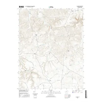
2016 Map of Allegre
USGS Topo · Published 2016About this map
Pond River and its various tributaries, including Slim Jimmy Br and Buck Fork Pond River, carve a complex drainage pattern through this part of Todd County. Small settlements such as Allegre and Clifty serve as local hubs, while numerous family-named burial grounds like Kirkman Cem and Slaughter Cem are scattered across the landscape, providing essential points of interest for genealogical research. The road network, featuring names like Cox Cemetery road and Heltsley Rd, connects these rural communities. Unique topographical features such as Dead Man Hollow and Happy Hollow add localized character to the terrain, while Collier Spring suggests the importance of natural water sources in this region of Kentucky.
Find a feature on this map
69 named features on this map. Tap any name to fly to it.
Don’t see what you’re looking for? This feature index may not catch every label — zoom into the map to look around manually.
Map Details
Editions of this 2016 Allegre Map
This is the sole edition of this map. No revisions or reprints were ever made.
Other maps of this area

1911 · Drakesboro
USGS Topo · 1:48,000

1912 · Nortonville
USGS Topo · 1:62,500

1913 · Drakesboro
USGS Topo · 1:62,500

1950 · Pembroke
USGS Topo · 1:24,000

1950 · Olmstead
USGS Topo · 1:24,000

1951 · Pembroke
USGS Topo · 1:24,000

1951 · Elkton
USGS Topo · 1:24,000

1951 · Olmstead
USGS Topo · 1:24,000

1952 · Sharon Grove
USGS Topo · 1:24,000

1952 · Allegre
USGS Topo · 1:24,000