
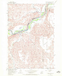
1956 Map of Alleman Station
USGS Topo · Published 1957About this map
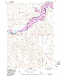
The Cheyenne River winds through this mid-century landscape, marking a vital boundary line for the Indian Reservation Boundary in central South Dakota. This 1956 survey records a pastoral and ranching environment on the cusp of significant change; much of the river bottom land is noted as being subject to future inundation by the Oahe Reservoir project. The map documents scattered prairie life through family holdings like the Pearman Ranch, Carr Ranch, and Jordan Ranch, alongside local landmarks such as Dupree Ch and Carr Sch. High plains topography is defined by the broad, level stretches of Circle P Flats, Marion Flats, and Mississippi Flats. Numerous seasonal waterways, including Hermaphrodite Creek and Sage Creek, carve into the terrain, illustrating the drainage patterns that define the region's cattle-country character.
Find a feature on this map
21 named features on this map. Tap any name to fly to it.
Don’t see what you’re looking for? This feature index may not catch every label — zoom into the map to look around manually.
Map Details
Editions of this 1956 Alleman Station Map
3 editions found
Other maps of this area

1954 · Pierre
USGS Topo · 1:250,000

1956 · Kirley
USGS Topo · 1:24,000

1956 · Carlin Flat
USGS Topo · 1:24,000

1956 · Herbert Creek SE
USGS Topo · 1:24,000

1956 · Sansarc NE
USGS Topo · 1:24,000

1958 · Pierre
USGS Topo · 1:250,000

1981 · Herbert Creek SW
USGS Topo · 1:24,000

1981 · High Elk Hill SE
USGS Topo · 1:24,000

1982 · Sansarc
USGS Topo · 1:24,000

1982 · Whiteman Ranch
USGS Topo · 1:24,000