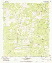
1974 Map of Allen Creek
USGS Topo · Published 1977About this map
The Kimble Co Kerr Co line bisects this landscape of the Texas Hill Country, characterized by a series of prominent waterholes and drainage basins. Allen Creek and the Johnson Fork carve through the terrain, supporting a network of livestock infrastructure that defines the local economy of the mid-1970s. Numerous named windmills, including the Two Dot Windmill, Bee Waterhole Windmill, and North Windmill, are scattered across the quadrangle, marking essential water sources for the cattle and goat ranching operations of the Edwards Plateau.
Find a feature on this map
27 named features on this map. Tap any name to fly to it.
Don’t see what you’re looking for? This feature index may not catch every label — zoom into the map to look around manually.
Map Details
Editions of this 1974 Allen Creek Map
2 editions found
Other maps of this area

1932 · Junction
USGS Topo · 1:62,500

1954 · Llano
USGS Topo · 1:250,000

1955 · Llano
USGS Topo · 1:250,000

1956 · Llano
USGS Topo · 1:250,000

1963 · Y O Ranch
USGS Topo · 1:24,000

1964 · Live Oak Ranch
USGS Topo · 1:24,000
1971 · Horse Camp Waterhole
USGS Topo · 1:24,000
1974 · Junction
USGS Topo · 1:24,000
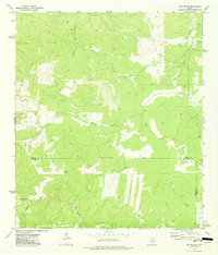
1974 · Junction SE
USGS Topo · 1:24,000
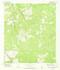
1974 · Tobe Branch
USGS Topo · 1:24,000