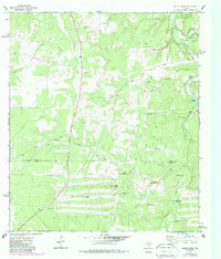
1974 Map of Allen Creek
USGS Topo · Published 1987About this map
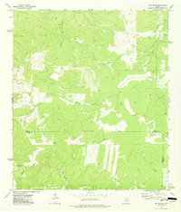
The Kimble and Kerr County line divides this stretch of the Texas Hill Country, where water management defines the isolated landscape. Deeply incised drainages like Stewart Gulch, Eli Hollow, and Rock House Hollow feed into Allen Creek and the Joy Creek fork. The reliance on subterranean water sources is evident in the numerous named landmarks serving the ranching economy, including the Two Dot Windmill, Junction Windmill, and Big West Windmill. These points of utility, alongside features like the Cedar Waterhole and Bee Waterhole, mark the vital infrastructure of rural Texas in the mid-1970s.
Find a feature on this map
23 named features on this map. Tap any name to fly to it.
Don’t see what you’re looking for? This feature index may not catch every label — zoom into the map to look around manually.
Map Details
Editions of this 1974 Allen Creek Map
2 editions found
Other maps of this area

1932 · Junction
USGS Topo · 1:62,500

1954 · Llano
USGS Topo · 1:250,000

1955 · Llano
USGS Topo · 1:250,000

1956 · Llano
USGS Topo · 1:250,000

1963 · Y O Ranch
USGS Topo · 1:24,000

1964 · Live Oak Ranch
USGS Topo · 1:24,000
1971 · Horse Camp Waterhole
USGS Topo · 1:24,000
1974 · Junction
USGS Topo · 1:24,000
1974 · Junction SE
USGS Topo · 1:24,000
1974 · Tobe Branch
USGS Topo · 1:24,000