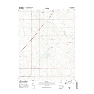
2015 Map of Allen SE
USGS Topo · Published 2015About this map
Lyon County State Lake forms a central point of this Kansas landscape, surrounded by a network of drainage systems including Hill Cr, Duck Cr, and the uniquely named One Hundred and Forty-two Mile Creek. The terrain is marked by the agricultural and rural patterns of Lyon County, defined by a rigid section-line road grid. The historical Burlingame Rd cuts diagonally through the southwestern sections, tracing a path that predates the modern interstate crossing the northern half of the sheet. Genealogists can identify significant burial sites such as Ivy Cem in the north and Phillips Cem situated near the intersection of RD 275 and RD 285. This 2015 survey reflects the enduring rural character of the region, where numerous small waterways like Badger Cr and Taylor Cr continue to shape the local geography.
Find a feature on this map
29 named features on this map. Tap any name to fly to it.
Don’t see what you’re looking for? This feature index may not catch every label — zoom into the map to look around manually.
Map Details
Editions of this 2015 Allen SE Map
This is the sole edition of this map. No revisions or reprints were ever made.
Other maps of this area

1885 · Eskridge
USGS Topo · 1:125,000

1885 · Burlington
USGS Topo · 1:125,000

1888 · Emporia
USGS Topo · 1:125,000

1889 · Burlingame
USGS Topo · 1:125,000

1889 · Eskridge
USGS Topo · 1:125,000

1894 · Emporia
USGS Topo · 1:125,000

1894 · Eskridge
USGS Topo · 1:125,000

1894 · Burlingame
USGS Topo · 1:125,000

1894 · Burlington
USGS Topo · 1:125,000

1947 · Lawrence
USGS Topo · 1:250,000