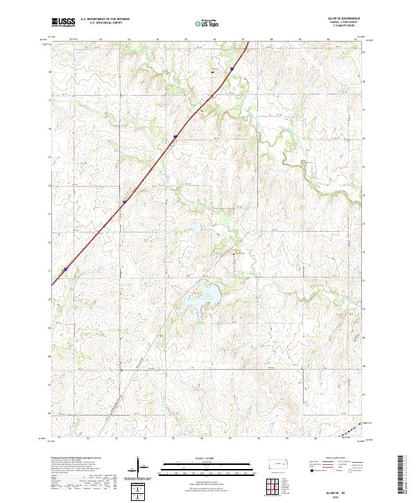
2022 Map of Allen SE
USGS Topo · Published 2022About this map
Lyon County State Lake forms a central geographical anchor for this portion of Lyon County, where the prairie landscape is carved by a network of drainage systems including Hill Cr and the unusually named One Hundred and Fortytwo Mile Cr. The map reveals a rural structure defined by a strict section line road grid, with Burlingame Rd cutting diagonally through the southern townships. For those tracing family histories in the region, the placement of Ivy Cem in the north and Phillips Cem further south provides essential locational data for early burials. The terrain is marked by the winding paths of Duck Cr and Plumb Cr, which disrupt the geometric regularity of the land survey, showing how local hydrology dictated the placement of early Kansas homesteads and road crossings.
Find a feature on this map
30 named features on this map. Tap any name to fly to it.
Don’t see what you’re looking for? This feature index may not catch every label — zoom into the map to look around manually.
Map Details
Editions of this 2022 Allen SE Map
This is the sole edition of this map. No revisions or reprints were ever made.
Other maps of this area

1885 · Eskridge
USGS Topo · 1:125,000

1885 · Burlington
USGS Topo · 1:125,000

1888 · Emporia
USGS Topo · 1:125,000

1889 · Burlingame
USGS Topo · 1:125,000

1889 · Eskridge
USGS Topo · 1:125,000

1894 · Emporia
USGS Topo · 1:125,000

1894 · Eskridge
USGS Topo · 1:125,000

1894 · Burlingame
USGS Topo · 1:125,000

1894 · Burlington
USGS Topo · 1:125,000

1947 · Lawrence
USGS Topo · 1:250,000