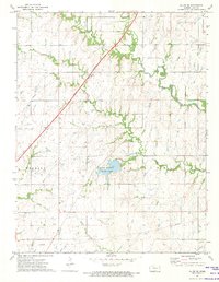
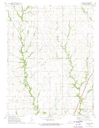
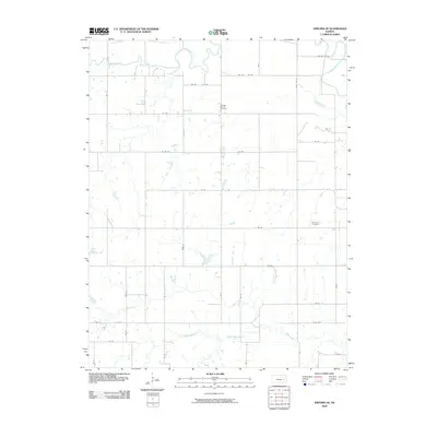
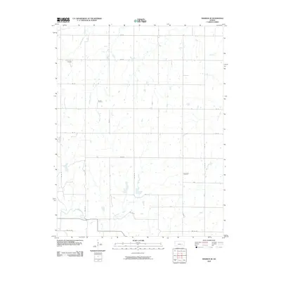
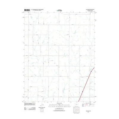
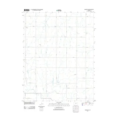
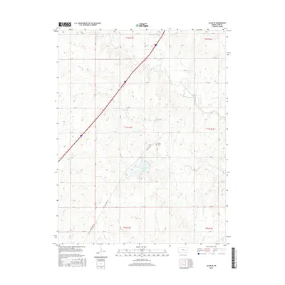
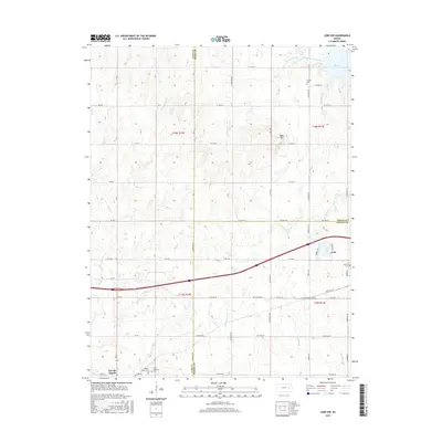
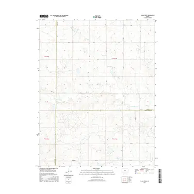
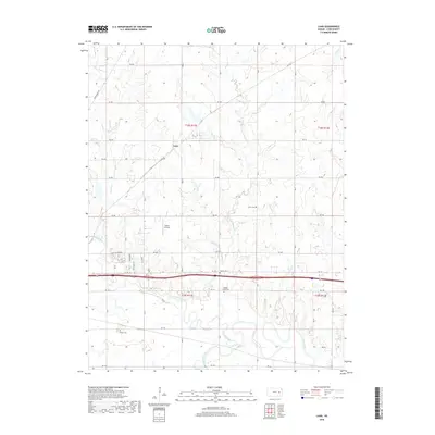
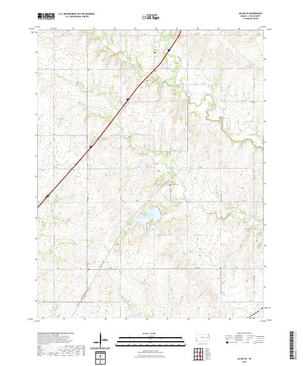
1972 Map of Allen SE
USGS Topo · Published 1974About this map
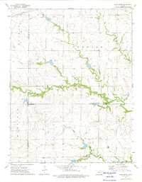
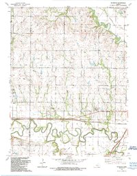
Lyon County State Lake forms a central landmark in this early 1970s survey of eastern Kansas, surrounded by the townships of Reading, Ivy, Fremont, and Waterloo. The landscape is defined by its drainage network, particularly One Hundred and Forty Mile Creek and Duck Creek, which carve through the prairie terrain. Significant historical markers are preserved here, including the Old Treaty Boundary and family-named burial grounds like Ivy Cem and Philips Cem. Modern infrastructure intersects these older lines, with the Kansas Toll Road Turnpike cutting diagonally across the northwestern corner and the A T & S F railroad tracking through the southern reaches. This document captures the transition between rural agricultural history and mid-century transportation development, locating specific structures like a Radio Tower and numerous small creek crossings.
Find a feature on this map
17 named features on this map. Tap any name to fly to it.
Don’t see what you’re looking for? This feature index may not catch every label — zoom into the map to look around manually.
Map Details
Editions of this 1972 Allen SE Map
This is the sole edition of this map. No revisions or reprints were ever made.
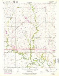
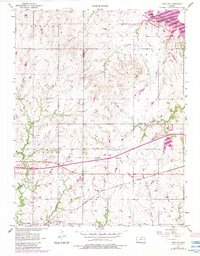
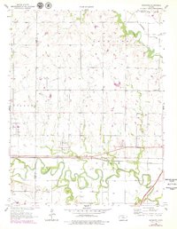
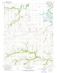
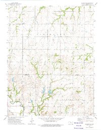
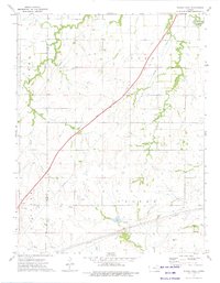
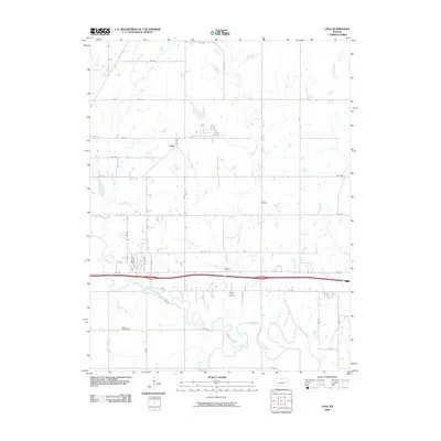
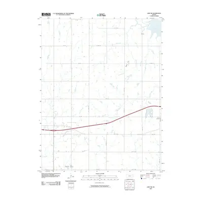
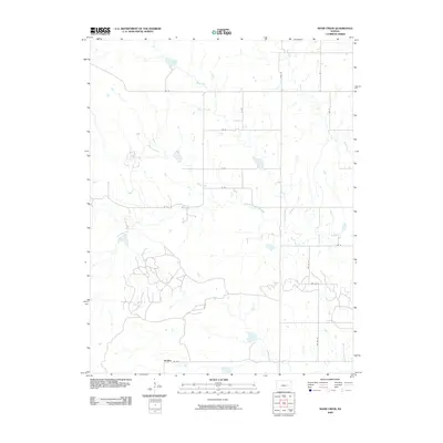
Historical Maps of Lyon County Through Time
55 maps found
1957 Lang
Lyon County, KS
1957 Lebo NW
Lyon County, KS
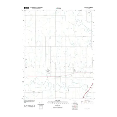
1957 Plymouth
Lyon County, KS
1972 Allen SE
Lyon County, KS
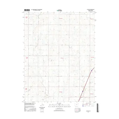
1972 Allen SW
Lyon County, KS
1973 Emporia SE
Lyon County, KS
1973 Madison NE
Lyon County, KS
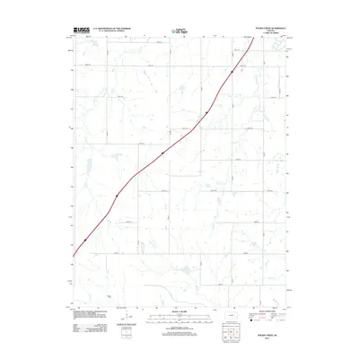
1973 Phenis Creek
Lyon County, KS
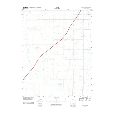
1973 Shaw Creek
Lyon County, KS
1989 Plymouth
Lyon County, KS
2009 Allen SE
Lyon County, KS
2009 Allen SW
Lyon County, KS
2009 Emporia SE
Lyon County, KS
2009 Lang
Lyon County, KS
2009 Lebo NW
Lyon County, KS
2009 Shaw Creek
Lyon County, KS
2010 Madison NE
Lyon County, KS
2010 Phenis Creek
Lyon County, KS
2010 Plymouth
Lyon County, KS
2012 Allen SE
Lyon County, KS
2012 Allen SW
Lyon County, KS
2012 Emporia SE
Lyon County, KS
2012 Lang
Lyon County, KS
2012 Lebo NW
Lyon County, KS
2012 Madison NE
Lyon County, KS
2012 Phenis Creek
Lyon County, KS
2012 Plymouth
Lyon County, KS
2012 Shaw Creek
Lyon County, KS
2015 Allen SE
Lyon County, KS
2015 Allen SW
Lyon County, KS
2015 Emporia SE
Lyon County, KS
2015 Lang
Lyon County, KS
2015 Lebo NW
Lyon County, KS
2015 Madison NE
Lyon County, KS
2015 Phenis Creek
Lyon County, KS
2015 Plymouth
Lyon County, KS
2015 Shaw Creek
Lyon County, KS
2018 Allen SE
Lyon County, KS
2018 Allen SW
Lyon County, KS
2018 Emporia SE
Lyon County, KS
2018 Lang
Lyon County, KS
2018 Lebo NW
Lyon County, KS
2018 Madison NE
Lyon County, KS
2018 Phenis Creek
Lyon County, KS
2018 Plymouth
Lyon County, KS
2018 Shaw Creek
Lyon County, KS
2022 Allen SE
Lyon County, KS
2022 Allen SW
Lyon County, KS
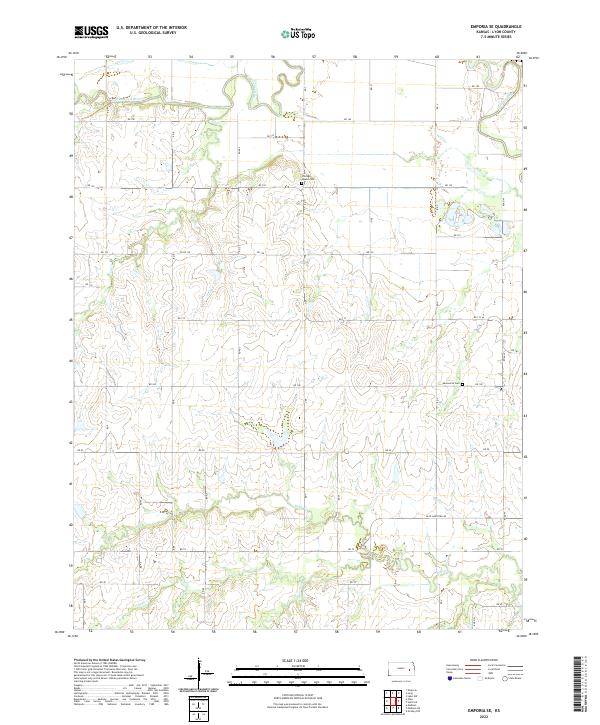
2022 Emporia SE
Lyon County, KS
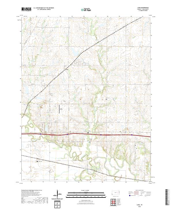
2022 Lang
Lyon County, KS
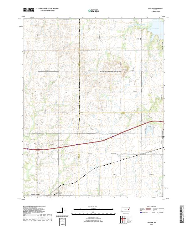
2022 Lebo NW
Lyon County, KS
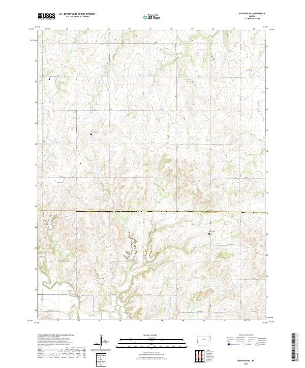
2022 Madison NE
Lyon County, KS
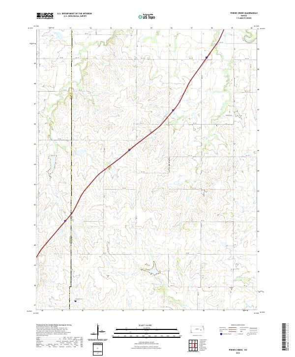
2022 Phenis Creek
Lyon County, KS
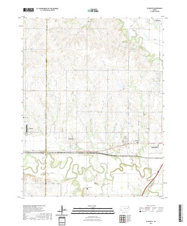
2022 Plymouth
Lyon County, KS
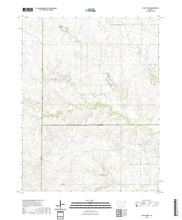
2022 Shaw Creek
Lyon County, KS