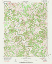
1954 Map of Allen Springs
USGS Topo · Published 1983About this map
Trammel Fork meanders through the heart of this landscape, defining the rural character of southeastern Warren Co and northwestern Allen Co in the mid-1950s. The settlement pattern is anchored by small crossroads and river-adjacent communities like Allen Springs, Butlersville, and Halfway. Local life is clearly organized around a dense network of country churches and schools, such as Friendship Ch near the northern boundary and Mt Pleasant Sch. The presence of several oil wells indicates an active petroleum interest in the region during this era. Topographic details reveal numerous caves and sinkholes, characteristic of the local karst terrain, while family history is preserved in small burial grounds like Sherry Cem and the Walthall Cem. The map provides a detailed look at the infrastructure of the day, from the scattered post offices to the Raley Ford river crossing on Bays Fork.
Find a feature on this map
35 named features on this map. Tap any name to fly to it.
Don’t see what you’re looking for? This feature index may not catch every label — zoom into the map to look around manually.
Map Details
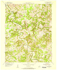
Editions of this 1954 Allen Springs Map
2 editions found
Other maps of this area

1921 · Bowling Green
USGS Topo · 1:62,500

1923 · Bowling Green
USGS Topo · 1:62,500

1926 · Scottsville
USGS Topo · 1:62,500

1928 · Adolphus
USGS Topo · 1:48,000

1931 · Lafayette
USGS Topo · 1:62,500

1931 · Adolphus
USGS Topo · 1:62,500

1942 · Gallatin
USGS Topo · 1:100,000

1954 · Drake
USGS Topo · 1:24,000

1954 · Petroleum
USGS Topo · 1:24,000
1954 · Polkville
USGS Topo · 1:24,000