
1919 Map of Allendale
USGS Topo · Published 1919About this map
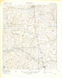
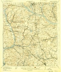
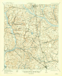
Barnwell and Allendale anchor this 1918 survey of the Lowcountry, revealing a landscape defined by an intricate network of rural churches and agricultural settlements just after World War I. The area is bounded by the Savannah River to the southwest and the headwaters of the Salkehatchie River, with a heavy concentration of community landmarks like Siloam Church, Galilee School, and Allen Chapel serving the scattered population.
Find a feature on this map
61 named features on this map. Tap any name to fly to it.
Don’t see what you’re looking for? This feature index may not catch every label — zoom into the map to look around manually.
Map Details
Editions of this 1919 Allendale Map
4 editions found
Other maps of this area

1918 · Varnville
USGS Topo · 1:62,500

1919 · Olar
USGS Topo · 1:62,500

1919 · Bamberg
USGS Topo · 1:48,000

1920 · Ellenton
USGS Topo · 1:48,000

1920 · Hilltonia
USGS Topo · 1:62,500

1920 · Bamberg
USGS Topo · 1:62,500

1920 · Peeples
USGS Topo · 1:62,500

1920 · Talatha
USGS Topo · 1:48,000

1921 · Talatha
USGS Topo · 1:62,500

1921 · Ellenton
USGS Topo · 1:62,500