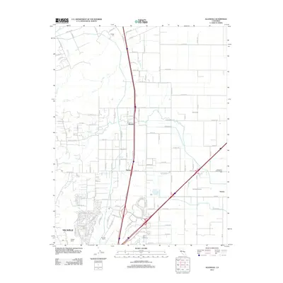
2012 Map of Allendale
USGS Topo · Published 2012About this map
Vacaville serves as the southern anchor of this quadrangle, where the urban street grid transitions into the agricultural landscape of northern Solano County. The area is defined by its complex irrigation and drainage network, featuring the prominent Putah-S-Canal and seasonal watercourses like Sweany Cr and Gibson Canyon Cr. This landscape supports established agricultural operations such as Eldridge Farm and Casbar Farms, illustrating the region's enduring farming character.
Find a feature on this map
126 named features on this map. Tap any name to fly to it.
Don’t see what you’re looking for? This feature index may not catch every label — zoom into the map to look around manually.
Map Details
Editions of this 2012 Allendale Map
This is the sole edition of this map. No revisions or reprints were ever made.
Other maps of this area
1902 · Napa
USGS Topo · 1:125,000
1907 · Woodland
USGS Topo · 1:62,500
1908 · Vacaville
USGS Topo · 1:62,500
1915 · Merritt
USGS Topo · 1:31,680
1916 · Dixon
USGS Topo · 1:31,680
1916 · Winters
USGS Topo · 1:31,680
1916 · Maine Prairie
USGS Topo · 1:31,680
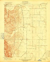
1917 · Wolfskill
USGS Topo · 1:31,680
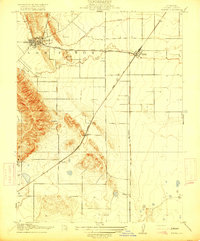
1917 · Elmira
USGS Topo · 1:31,680
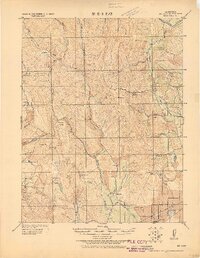
1921 · Mt. Vaca
USGS Topo · 1:62,500