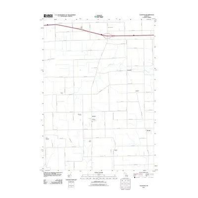
2011 Map of Allenton
USGS Topo · Published 2011About this map
Allenton serves as a central hub for this St. Clair County landscape, which is defined by its agricultural grid and the meandering path of the Belle River. This 2011 survey documents a region where tradition and modern infrastructure coexist, from the Allenton Post Office to the Berlin Oil Field located south of Hough Rd. The area is particularly rich in historical burial sites, including the Capac Cemetery, West Berlin Cemetery, and the Scotch Settlement Cemetery, each offering vital clues for local genealogical research.
Find a feature on this map
61 named features on this map. Tap any name to fly to it.
Don’t see what you’re looking for? This feature index may not catch every label — zoom into the map to look around manually.
Map Details
Editions of this 2011 Allenton Map
This is the sole edition of this map. No revisions or reprints were ever made.
Other maps of this area

1914 · Armada
USGS Topo · 1:62,500

1928 · Armada
USGS Topo · 1:62,500

1943 · Romeo
USGS Topo · 1:24,000

1944 · Memphis
USGS Topo · 1:24,000

1945 · Armada
USGS Topo · 1:24,000

1945 · Almont
USGS Topo · 1:24,000

1945 · Allenton
USGS Topo · 1:24,000

1945 · Richmond
USGS Topo · 1:24,000

1945 · Romeo
USGS Topo · 1:24,000

1952 · Allenton
USGS Topo · 1:24,000