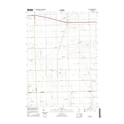
2014 Map of Allenton
USGS Topo · Published 2014About this map
Capac and the surrounding agricultural townships of St. Clair and Lapeer counties are defined by a network of drainage ditches and small waterways that support this fertile corner of Michigan. The landscape is dotted with several small hamlets including Allenton, Berville, and Lesterville, which serve as local hubs for the surrounding farmsteads. Genealogical interest is particularly high here, as the map identifies several local burial grounds such as the Scotch Settlement Cem near the Lapeer County line and the West Berlin Cem. These sites, along with the East Berlin Cem and Rose Hill Cem, provide tangible links to the early families who settled along the Belle River and its various tributaries like E Br Coon Cr. The rectilinear road grid, dominated by routes like Almont Rd and Hough Rd, reflects the disciplined land division characteristic of Michigan's Thumb region.
Find a feature on this map
68 named features on this map. Tap any name to fly to it.
Don’t see what you’re looking for? This feature index may not catch every label — zoom into the map to look around manually.
Map Details
Editions of this 2014 Allenton Map
This is the sole edition of this map. No revisions or reprints were ever made.
Other maps of this area

1914 · Armada
USGS Topo · 1:62,500

1928 · Armada
USGS Topo · 1:62,500

1943 · Romeo
USGS Topo · 1:24,000

1944 · Memphis
USGS Topo · 1:24,000

1945 · Armada
USGS Topo · 1:24,000

1945 · Almont
USGS Topo · 1:24,000

1945 · Allenton
USGS Topo · 1:24,000

1945 · Richmond
USGS Topo · 1:24,000

1945 · Romeo
USGS Topo · 1:24,000

1952 · Allenton
USGS Topo · 1:24,000