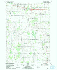
1991 Map of Allenton
USGS Topo · Published 1991About this map
Allenton and Berville serve as central points in this rural landscape at the border of St. Clair, Lapeer, and Macomb Counties. The area is defined by its agricultural character and an intricate network of waterways, including the winding Belle River and numerous agricultural drainage systems such as Capac Drain and Newland Drain. Local social and religious history is centered around several landmarks like Almont Camp, St Johns Ch, and the West Berlin Ch.
Find a feature on this map
52 named features on this map. Tap any name to fly to it.
Don’t see what you’re looking for? This feature index may not catch every label — zoom into the map to look around manually.
Map Details
Editions of this 1991 Allenton Map
This is the sole edition of this map. No revisions or reprints were ever made.
Other maps of this area

1914 · Armada
USGS Topo · 1:62,500

1928 · Armada
USGS Topo · 1:62,500

1943 · Romeo
USGS Topo · 1:24,000

1944 · Memphis
USGS Topo · 1:24,000

1945 · Armada
USGS Topo · 1:24,000

1945 · Almont
USGS Topo · 1:24,000

1945 · Allenton
USGS Topo · 1:24,000

1945 · Richmond
USGS Topo · 1:24,000

1945 · Romeo
USGS Topo · 1:24,000

1952 · Allenton
USGS Topo · 1:24,000