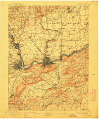
1894 Map of Allentown
USGS Topo · Published 1912About this map
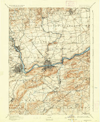
The Lehigh River and the parallel Lehigh Canal serve as the industrial spine of this 1890s landscape, illustrating the critical transportation network that powered the Lehigh Valley. The map documents the dense urban centers of Bethlehem and Allentown before the massive expansion of the 20th century, showing a region where manufacturing and rail traffic concentrated along the riverbanks. Beyond the river hubs, a network of smaller villages like Kreidersville, Seemsville, and Hecktown are connected by a web of rural roads, many centered around local landmarks such as Stone Church. Significant elevation changes are marked by prominent features like Hexenkopf Hill and Iron Hill, while numerous railroad lines, including the Central RR of New Jersey and the Bangor and Portland RR, underscore the area's importance as a nineteenth-century rail corridor.
Find a feature on this map
110 named features on this map. Tap any name to fly to it.
Don’t see what you’re looking for? This feature index may not catch every label — zoom into the map to look around manually.
Map Details
Editions of this 1894 Allentown Map
10 editions found

1894 edition
16.5 x 19.9 inches
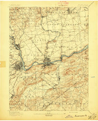
1897 edition
16.5 x 20.4 inches
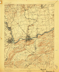
1898 edition
15.8 x 19.6 inches
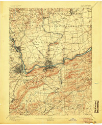
1905 edition
16.5 x 20.3 inches
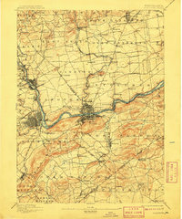
1909 edition
16.5 x 19.9 inches
1912 edition
16.5 x 19.9 inches
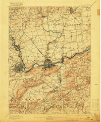
1918 edition
16.5 x 19.9 inches
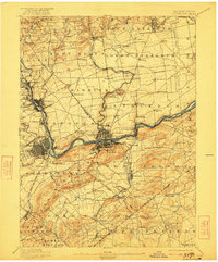
1922 edition
16.5 x 19.9 inches
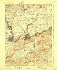
1928 edition
16.5 x 19.9 inches
1936 edition
16.5 x 19.9 inches
Other maps of this area

1888 · Quakertown
USGS Topo · 1:62,500

1890 · Easton
USGS Topo · 1:62,500

1890 · Doylestown
USGS Topo · 1:62,500

1890 · Quakertown
USGS Topo · 1:62,500

1891 · Easton
USGS Topo · 1:62,500

1891 · Doylestown
USGS Topo · 1:62,500

1891 · Delaware Water Gap
USGS Topo · 1:62,500

1893 · Delaware Water Gap
USGS Topo · 1:62,500
1894 · Allentown
USGS Topo · 1:62,500

1894 · Quakertown
USGS Topo · 1:62,500