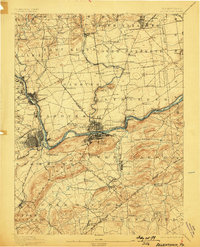
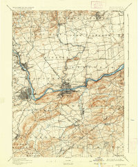
1894 Map of Allentown
USGS Topo · Published 1898About this map
Industrial expansion and river-borne commerce dominate the landscape along the Lehigh River in the late nineteenth century. The urban centers of Bethlehem and West Bethlehem serve as critical hubs for the Central R. R. Of N. J. and the Lehigh Canal, illustrating the intense concentration of transportation infrastructure that fueled Pennsylvania's iron and steel era. Further north, smaller settlements like Catasauqua, Hokendauqua, and Coplay line the river banks, each connected by a network of creeks including Hokendauqua Creek and Catasauqua Creek.
Find a feature on this map
104 named features on this map. Tap any name to fly to it.
Don’t see what you’re looking for? This feature index may not catch every label — zoom into the map to look around manually.
Map Details
Editions of this 1894 Allentown Map
10 editions found

1894 edition
16.5 x 19.9 inches
1897 edition
16.5 x 20.4 inches
1898 edition
15.8 x 19.6 inches
1905 edition
16.5 x 20.3 inches
1909 edition
16.5 x 19.9 inches
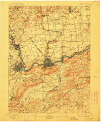
1912 edition
16.5 x 19.9 inches
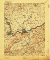
1918 edition
16.5 x 19.9 inches
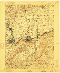
1922 edition
16.5 x 19.9 inches
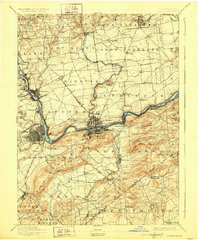
1928 edition
16.5 x 19.9 inches
1936 edition
16.5 x 19.9 inches
Other maps of this area

1888 · Quakertown
USGS Topo · 1:62,500

1890 · Easton
USGS Topo · 1:62,500

1890 · Doylestown
USGS Topo · 1:62,500

1890 · Quakertown
USGS Topo · 1:62,500

1891 · Easton
USGS Topo · 1:62,500

1891 · Doylestown
USGS Topo · 1:62,500

1891 · Delaware Water Gap
USGS Topo · 1:62,500

1893 · Delaware Water Gap
USGS Topo · 1:62,500
1894 · Allentown
USGS Topo · 1:62,500

1894 · Quakertown
USGS Topo · 1:62,500