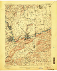
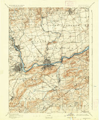
1894 Map of Allentown
USGS Topo · Published 1905About this map
The Lehigh River corridor serves as the industrial and transportation backbone of this late 19th-century landscape, dominated by the emerging urban centers of Allentown and Bethlehem. The map captures a critical period when the Lehigh Canal still parallels the river, providing a historical footprint of early water-borne commerce alongside the expanding networks of the Central R.R. of N.J. and the Lehigh Valley lines.
Find a feature on this map
107 named features on this map. Tap any name to fly to it.
Don’t see what you’re looking for? This feature index may not catch every label — zoom into the map to look around manually.
Map Details
Editions of this 1894 Allentown Map
10 editions found

1894 edition
16.5 x 19.9 inches
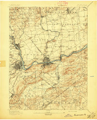
1897 edition
16.5 x 20.4 inches
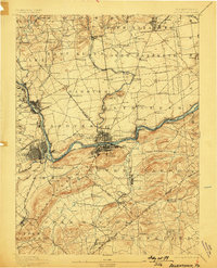
1898 edition
15.8 x 19.6 inches
1905 edition
16.5 x 20.3 inches
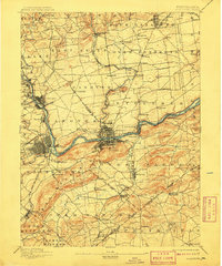
1909 edition
16.5 x 19.9 inches
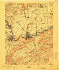
1912 edition
16.5 x 19.9 inches
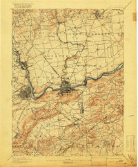
1918 edition
16.5 x 19.9 inches
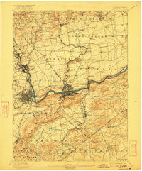
1922 edition
16.5 x 19.9 inches
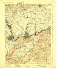
1928 edition
16.5 x 19.9 inches
1936 edition
16.5 x 19.9 inches
Other maps of this area

1888 · Quakertown
USGS Topo · 1:62,500

1890 · Easton
USGS Topo · 1:62,500

1890 · Doylestown
USGS Topo · 1:62,500

1890 · Quakertown
USGS Topo · 1:62,500

1891 · Easton
USGS Topo · 1:62,500

1891 · Doylestown
USGS Topo · 1:62,500

1891 · Delaware Water Gap
USGS Topo · 1:62,500

1893 · Delaware Water Gap
USGS Topo · 1:62,500
1894 · Allentown
USGS Topo · 1:62,500

1894 · Quakertown
USGS Topo · 1:62,500