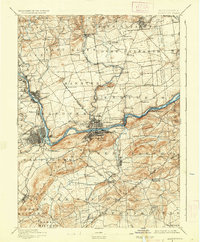
1894 Map of Allentown
USGS Topo · Published 1936About this map
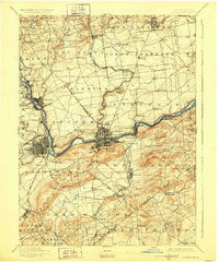
Bethlehem and Allentown serve as the industrial anchors of this late 19th-century landscape, connected by a dense network of transit along the Lehigh River. The map meticulously details the infrastructure of the era, from the winding path of the Lehigh Canal to the various rail lines including the Lehigh Valley R. R. and the Central R. R. of N. J.. Beyond the primary urban centers, numerous small settlements like Beersville, Siegfried, and Hellertown dot the countryside, illustrating the transition from river-side industry to the surrounding agricultural townships of Hanover and Lower Saucon. Landform labels such as Quaker Hill and Hexenkopf Hill provide topographic context for the valleys where the Saucon Creek and Catasauqua Creek flow. Local history is preserved in the location of landmarks like Stone Church and the detailed street grids of emerging communities before the turn of the century.
Find a feature on this map
110 named features on this map. Tap any name to fly to it.
Don’t see what you’re looking for? This feature index may not catch every label — zoom into the map to look around manually.
Map Details
Editions of this 1894 Allentown Map
10 editions found

1894 edition
16.5 x 19.9 inches
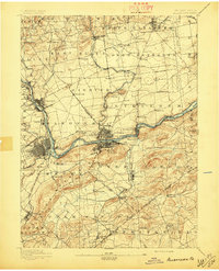
1897 edition
16.5 x 20.4 inches
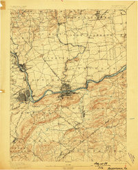
1898 edition
15.8 x 19.6 inches
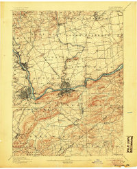
1905 edition
16.5 x 20.3 inches
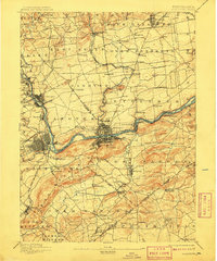
1909 edition
16.5 x 19.9 inches
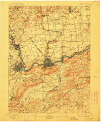
1912 edition
16.5 x 19.9 inches
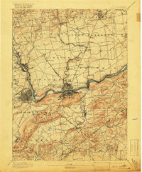
1918 edition
16.5 x 19.9 inches
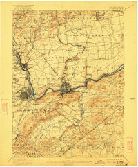
1922 edition
16.5 x 19.9 inches
1928 edition
16.5 x 19.9 inches
1936 edition
16.5 x 19.9 inches
Other maps of this area

1888 · Quakertown
USGS Topo · 1:62,500

1890 · Easton
USGS Topo · 1:62,500

1890 · Doylestown
USGS Topo · 1:62,500

1890 · Quakertown
USGS Topo · 1:62,500

1891 · Easton
USGS Topo · 1:62,500

1891 · Doylestown
USGS Topo · 1:62,500

1891 · Delaware Water Gap
USGS Topo · 1:62,500

1893 · Delaware Water Gap
USGS Topo · 1:62,500
1894 · Allentown
USGS Topo · 1:62,500

1894 · Quakertown
USGS Topo · 1:62,500