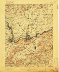
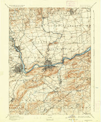
1894 Map of Allentown
USGS Topo · Published 1918About this map
The Lehigh River corridor serves as the industrial and transit spine of this late 19th-century landscape, anchoring the major urban centers of Allentown and Bethlehem. Surveyed in 1893, the map reveals a dense network of competing rail lines, including the Lehigh Valley R. R. and the Central R. R. of New Jersey, which fueled the region's iron and steel growth. Beyond the riverfront settlements like Freemansburg and Catasauqua, the topography transitions into the prominent ridges of Northampton Rocks and isolated peaks such as Hexenkopf Hill. Numerous small crossroads like Beersville, Hecktown, and Bingen provide a detailed look at rural life and early township boundaries across Lehigh and Northampton counties before the suburban expansion of the 20th century.
Find a feature on this map
101 named features on this map. Tap any name to fly to it.
Don’t see what you’re looking for? This feature index may not catch every label — zoom into the map to look around manually.
Map Details
Editions of this 1894 Allentown Map
10 editions found

1894 edition
16.5 x 19.9 inches
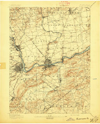
1897 edition
16.5 x 20.4 inches
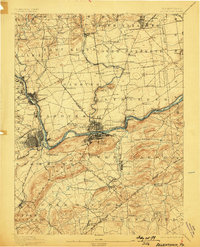
1898 edition
15.8 x 19.6 inches
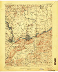
1905 edition
16.5 x 20.3 inches
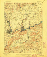
1909 edition
16.5 x 19.9 inches
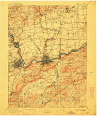
1912 edition
16.5 x 19.9 inches
1918 edition
16.5 x 19.9 inches
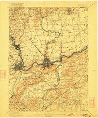
1922 edition
16.5 x 19.9 inches
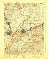
1928 edition
16.5 x 19.9 inches
1936 edition
16.5 x 19.9 inches
Other maps of this area

1888 · Quakertown
USGS Topo · 1:62,500

1890 · Easton
USGS Topo · 1:62,500

1890 · Doylestown
USGS Topo · 1:62,500

1890 · Quakertown
USGS Topo · 1:62,500

1891 · Easton
USGS Topo · 1:62,500

1891 · Doylestown
USGS Topo · 1:62,500

1891 · Delaware Water Gap
USGS Topo · 1:62,500

1893 · Delaware Water Gap
USGS Topo · 1:62,500
1894 · Allentown
USGS Topo · 1:62,500

1894 · Quakertown
USGS Topo · 1:62,500