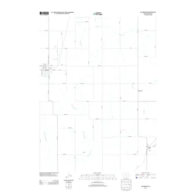
2013 Map of Allerton
USGS Topo · Published 2013About this map
Allerton sits at the western edge of this Wayne County landscape, defined by a grid of rural roads and the meandering headwaters of several southern Iowa stream systems. The town’s street plan, including N Central Ave and E Main St, transitions quickly into the agricultural surroundings. Further east, the small settlements of Harvard and Sewal serve as local landmarks within the township network. The hydrology of the area is particularly prominent, featuring the E Fork Medicine Cr, W Jackson Cr, and Middle Fork Medicine Cr. These waterways dictate the subtle topography of the region, while a series of county highways, such as Co Hwy-S26 and Co Hwy-J46, provide the primary connections between these dispersed communities. The map provides a detailed view of the sectional road system, including named corridors like Jewell Rd and Garden Rd, which have shaped the local geography for generations.
Find a feature on this map
51 named features on this map. Tap any name to fly to it.
Don’t see what you’re looking for? This feature index may not catch every label — zoom into the map to look around manually.
Map Details
Editions of this 2013 Allerton Map
This is the sole edition of this map. No revisions or reprints were ever made.
Other maps of this area

1934 · Humeston
USGS Topo · 1:48,000

1935 · Russell
USGS Topo · 1:62,500

1937 · Corydon
USGS Topo · 1:62,500

1938 · Russell
USGS Topo · 1:62,500

1942 · Seymour
USGS Topo · 1:62,500

1944 · Seymour
USGS Topo · 1:62,500

1954 · Centerville
USGS Topo · 1:250,000

1957 · Centerville
USGS Topo · 1:250,000

1958 · Centerville
USGS Topo · 1:250,000

1964 · Allerton
USGS Topo · 1:24,000