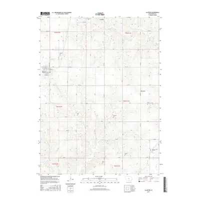
2015 Map of Allerton
USGS Topo · Published 2015About this map
Allerton and its surrounding Wayne County landscape are defined by a network of rural townships and winding waterways in this 2015 update. The town's grid, including streets like W Oak St and N Central Ave, transitions quickly into agricultural sections marked by a significant concentration of family and community burial grounds. These sites, such as Rankin Cem, Sturgeon Cem, and Thomas Cem, serve as permanent markers of the region's genealogical history. The terrain is drained by the E Fork Medicine Cr and W Jackson Cr, which meander through the prairie land between the small settlements of Harvard and Sewal. The map captures the enduring rural character of southern Iowa, where section lines and county roads like Co Rd J46 maintain the structural layout established by early land surveys.
Find a feature on this map
40 named features on this map. Tap any name to fly to it.
Don’t see what you’re looking for? This feature index may not catch every label — zoom into the map to look around manually.
Map Details
Editions of this 2015 Allerton Map
This is the sole edition of this map. No revisions or reprints were ever made.
Other maps of this area

1934 · Humeston
USGS Topo · 1:48,000

1935 · Russell
USGS Topo · 1:62,500

1937 · Corydon
USGS Topo · 1:62,500

1938 · Russell
USGS Topo · 1:62,500

1942 · Seymour
USGS Topo · 1:62,500

1944 · Seymour
USGS Topo · 1:62,500

1954 · Centerville
USGS Topo · 1:250,000

1957 · Centerville
USGS Topo · 1:250,000

1958 · Centerville
USGS Topo · 1:250,000

1964 · Allerton
USGS Topo · 1:24,000