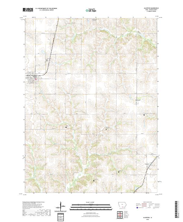
2022 Map of Allerton
USGS Topo · Published 2022About this map
Allerton serves as the primary hub of this southern Iowa landscape, where a grid of rural roads connects scattered agricultural communities and family burial grounds. The township structure is defined by a network of thoroughfares like Idaho and Edison, while the drainage of the land is shaped by the winding paths of W Jackson Cr and Middle Fork Medicine Cr. For genealogists and local historians, the sheet is particularly valuable for its documentation of rural cemeteries including Richardson Chappel Cem, Rankin Cem, and Sturgeon Cem. The map illustrates the transition from the concentrated street plan of the Allerton settlement to the smaller outposts of Harvard and Sewal, providing a clear look at the spatial organization of Wayne County farms and small-town centers during the early twenty-first century.
Find a feature on this map
37 named features on this map. Tap any name to fly to it.
Don’t see what you’re looking for? This feature index may not catch every label — zoom into the map to look around manually.
Map Details
Editions of this 2022 Allerton Map
This is the sole edition of this map. No revisions or reprints were ever made.
Other maps of this area

1934 · Humeston
USGS Topo · 1:48,000

1935 · Russell
USGS Topo · 1:62,500

1937 · Corydon
USGS Topo · 1:62,500

1938 · Russell
USGS Topo · 1:62,500

1942 · Seymour
USGS Topo · 1:62,500

1944 · Seymour
USGS Topo · 1:62,500

1954 · Centerville
USGS Topo · 1:250,000

1957 · Centerville
USGS Topo · 1:250,000

1958 · Centerville
USGS Topo · 1:250,000

1964 · Allerton
USGS Topo · 1:24,000