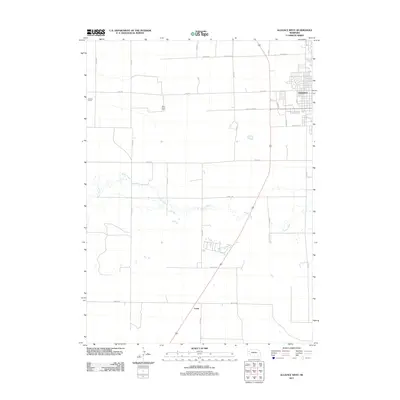
2011 Map of Alliance West
USGS Topo · Published 2011About this map
The western residential and agricultural periphery of Alliance is captured here in the early 21st century, where the city grid transitions into the expansive Section Land system of the High Plains. Development extends westward along W Kansas St and 4th St, bordered by the recreational corridor of Country Club Rd. Beyond the city limits, the landscape is defined by large-scale agricultural operations including Gardner Farms and Belle Acres Farm. The meandering course of Snake Creek provides the primary natural drainage across the central portion of the map, cutting a winding path through the surrounding fields. To the south, the settlement of Letan sits along a major transport corridor near the intersection of Valley Rd and Wayne Rd, serving as a distinct waypoint in the rural landscape of Box Butte County.
Find a feature on this map
24 named features on this map. Tap any name to fly to it.
Don’t see what you’re looking for? This feature index may not catch every label — zoom into the map to look around manually.
Map Details
Editions of this 2011 Alliance West Map
This is the sole edition of this map. No revisions or reprints were ever made.
Other maps of this area

1896 · Browns Creek
USGS Topo · 1:125,000

1898 · Camp Clarke
USGS Topo · 1:125,000

1899 · Browns Creek
USGS Topo · 1:125,000

1946 · Berea Creek East
USGS Topo · 1:24,000

1947 · Alliance
USGS Topo · 1:24,000

1947 · Bronco Lake
USGS Topo · 1:24,000

1948 · Hemingford 4 SE
USGS Topo · 1:24,000

1948 · Berea Creek West
USGS Topo · 1:24,000

1948 · Berea Creek East
USGS Topo · 1:24,000

1948 · Hemingford 4 NE
USGS Topo · 1:24,000