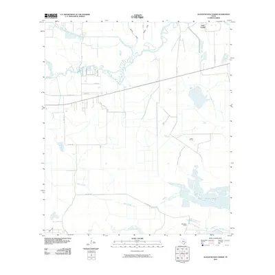
2010 Map of Alligator Hole Marsh
USGS Topo · Published 2010About this map
Taylor Landing and the surrounding coastal marshlands of Jefferson County define this landscape, where the meandering course of Taylor Bayou meets its northern and southern forks. The territory is characterized by a network of drainage features like Burrell Gully and Aubey Gully, which channel water toward the expansive Willow Slough Marsh. This environment supports a mix of traditional ranching and industrial activity, evident in the presence of McFadden Ranch and the localized operations at the La Belle Oil Field.
Find a feature on this map
22 named features on this map. Tap any name to fly to it.
Don’t see what you’re looking for? This feature index may not catch every label — zoom into the map to look around manually.
Map Details
Editions of this 2010 Alligator Hole Marsh Map
This is the sole edition of this map. No revisions or reprints were ever made.
Other maps of this area

1943 · Fannett East
USGS Topo · 1:24,000

1945 · Fannett East
USGS Topo · 1:31,680

1950 · Houston
USGS Topo · 1:250,000

1956 · Houston
USGS Topo · 1:250,000

1961 · Star Lake
USGS Topo · 1:24,000
1961 · Clam Lake
USGS Topo · 1:24,000
1962 · Fannett East
USGS Topo · 1:24,000
1962 · Whites Ranch
USGS Topo · 1:24,000
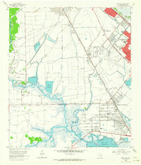
1962 · Port Acres
USGS Topo · 1:24,000
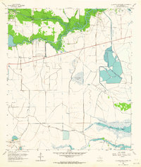
1962 · Alligator Hole Marsh
USGS Topo · 1:24,000