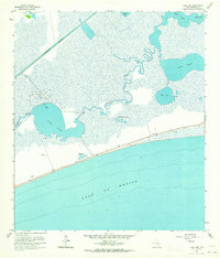
1961 Map of Clam Lake
USGS Topo · Published 1964About this map
Coastal marshlands and the energy economy intersect along this Jefferson County shoreline in the early 1960s. The Clam Lake Oil Field occupies the central wetlands, where several Oil Wells are scattered among the tidal inlets and brackish lakes. To the north, the straight line of the Intracoastal Waterway cuts a distinct industrial path through the landscape, separating the interior marshes from the convoluted bends of Salt Bayou.
Find a feature on this map
18 named features on this map. Tap any name to fly to it.
Don’t see what you’re looking for? This feature index may not catch every label — zoom into the map to look around manually.
Map Details
Editions of this 1961 Clam Lake Map
2 editions found
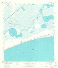
Other maps of this area

1943 · Port Arthur South
USGS Topo · 1:24,000

1944 · Sabine Pass
USGS Topo · 1:31,680

1950 · Houston
USGS Topo · 1:250,000

1954 · Port Arthur
USGS Topo · 1:250,000

1956 · Houston
USGS Topo · 1:250,000
1956 · Port Arthur
USGS Topo · 1:250,000
1957 · Sabine Pass
USGS Topo · 1:62,500
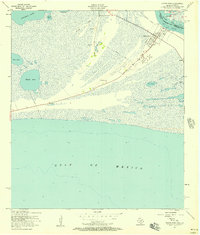
1957 · Sabine Pass
USGS Topo · 1:24,000
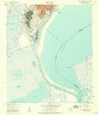
1957 · Port Arthur South
USGS Topo · 1:24,000
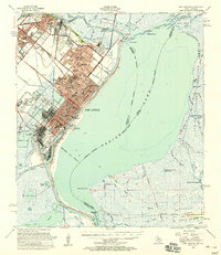
1957 · Port Arthur
USGS Topo · 1:62,500