
1961 Map of Star Lake
USGS Topo · Published 1964About this map
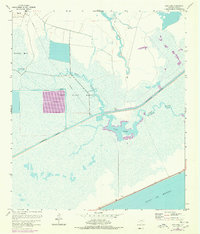
The Gulf of Mexico coastline in Jefferson County meets an intricate network of coastal wetlands and industrial water management in this early 1960s survey. The landscape is dominated by the Salt Bayou Marsh and Spindletop Marsh, reflecting the region's historical connection to the petroleum era and the need for significant drainage infrastructure like the Spindletop Ditch. The Intracoastal Waterway cuts a straight path through these marshes, providing a vital shipping artery that bypasses the natural meanders of Salt (Fivemile Bayou Cut). Grounded features such as Star Lake and Little Lake sit alongside evidence of resource extraction, including a prominent Pipe Line and a Pumping Station near Willie Slough. To the north, the elevation of Big Hill provides a rare point of relief in an otherwise fluid environment of sloughs and tidal marshes.
Find a feature on this map
14 named features on this map. Tap any name to fly to it.
Don’t see what you’re looking for? This feature index may not catch every label — zoom into the map to look around manually.
Map Details
Editions of this 1961 Star Lake Map
2 editions found
Other maps of this area

1950 · Houston
USGS Topo · 1:250,000

1956 · Houston
USGS Topo · 1:250,000

1961 · Mud Lake
USGS Topo · 1:24,000
1961 · Clam Lake
USGS Topo · 1:24,000
1962 · Whites Ranch
USGS Topo · 1:24,000
1962 · Alligator Hole Marsh
USGS Topo · 1:24,000
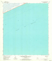
1962 · South of Star Lake
USGS Topo · 1:24,000
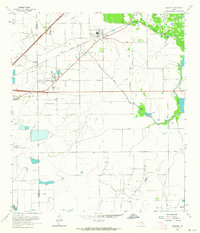
1962 · Hamshire
USGS Topo · 1:24,000
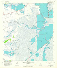
1962 · Big Hill Bayou
USGS Topo · 1:24,000

1975 · Houston
USGS Topo · 1:250,000