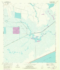
1961 Map of Star Lake
USGS Topo · Published 1978About this map
The Gulf of Mexico coastline meets a complex network of coastal wetlands and engineering in this Jefferson County landscape. Dominated by the Salt Bayou Marsh, the area shows a distinct transition from the natural winding channels of Salt Bayou and Willie Slough Gully to the straight, purposeful lines of mid-century industrial infrastructure. The massive Intracoastal Waterway cuts a direct path across the marsh, facilitating maritime traffic and bypasses like the Salt (Fivemile Bayou Cut). Evidence of early-to-mid 20th-century energy development is clear, with a notable Pipeline and Pumping Station serving the region. Elevated terrain such as Big Hill and the basin of Star Lake provide the few breaks in a water-saturated environment defined by features like Spindletop Marsh and Little Lake.
Find a feature on this map
13 named features on this map. Tap any name to fly to it.
Don’t see what you’re looking for? This feature index may not catch every label — zoom into the map to look around manually.
Map Details
Editions of this 1961 Star Lake Map
2 editions found
Other maps of this area

1950 · Houston
USGS Topo · 1:250,000

1956 · Houston
USGS Topo · 1:250,000

1961 · Star Lake
USGS Topo · 1:24,000

1961 · Mud Lake
USGS Topo · 1:24,000
1961 · Clam Lake
USGS Topo · 1:24,000
1962 · Whites Ranch
USGS Topo · 1:24,000
1962 · Alligator Hole Marsh
USGS Topo · 1:24,000
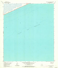
1962 · South of Star Lake
USGS Topo · 1:24,000
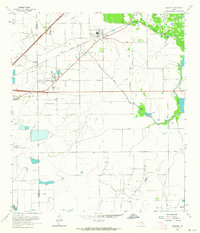
1962 · Hamshire
USGS Topo · 1:24,000
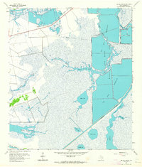
1962 · Big Hill Bayou
USGS Topo · 1:24,000