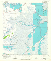
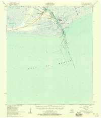
1962 Map of Big Hill Bayou
USGS Topo · Published 1964About this map
Big Hill Bayou Wildlife Management Area dominates the eastern landscape of this coastal Jefferson County survey, illustrating the complex hydrology of the Texas Gulf Coast in the early 1960s. The region is defined by a labyrinth of marshes and water bodies, including Willow Slough Marsh and Shallow Prong Lake, which are interconnected by the winding course of Big Hill Bayou. This landscape shows the footprint of mid-century industrial and water management infrastructure, evidenced by the Intracoastal Waterway cutting through the southern marshlands and the presence of a Pumping Station and several prominent pipelines. Named terrain features like Gum Island and Hog Island rise as landmarks above the surrounding wetlands, while larger reservoirs such as Big Hill Reservoir indicate the significant modification of the natural flow to support regional water needs.
Find a feature on this map
23 named features on this map. Tap any name to fly to it.
Don’t see what you’re looking for? This feature index may not catch every label — zoom into the map to look around manually.
Map Details
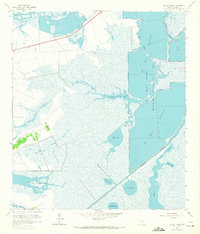
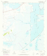
Editions of this 1962 Big Hill Bayou Map
3 editions found
Other maps of this area

1943 · Port Arthur North
USGS Topo · 1:24,000

1943 · Port Arthur South
USGS Topo · 1:24,000

1943 · Fannett East
USGS Topo · 1:24,000

1944 · Sabine Pass
USGS Topo · 1:31,680

1945 · Fannett East
USGS Topo · 1:31,680

1950 · Houston
USGS Topo · 1:250,000

1954 · Port Arthur
USGS Topo · 1:250,000

1956 · Houston
USGS Topo · 1:250,000
1956 · Port Arthur
USGS Topo · 1:250,000
1957 · Sabine Pass
USGS Topo · 1:62,500