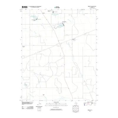
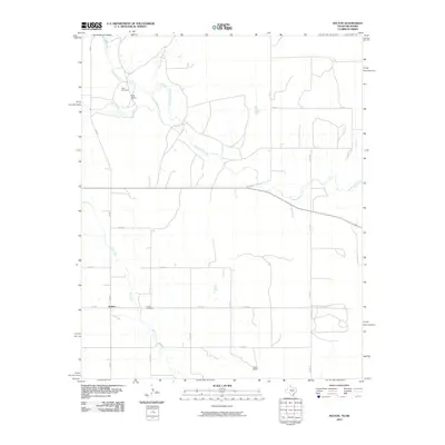
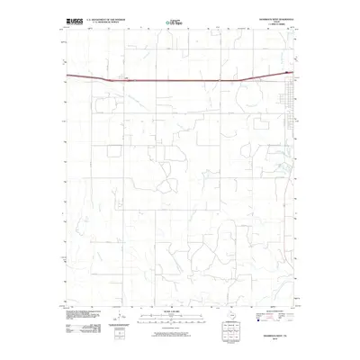
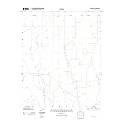
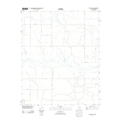
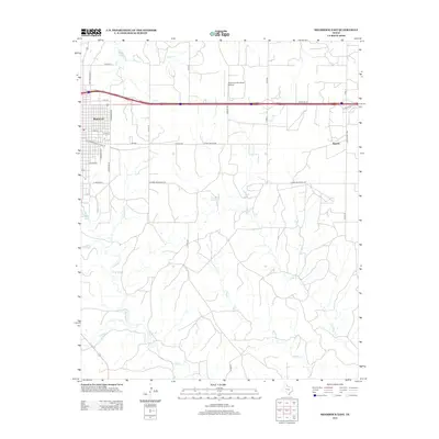
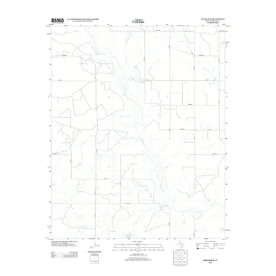
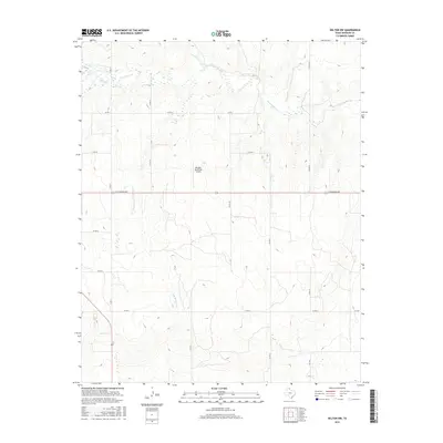
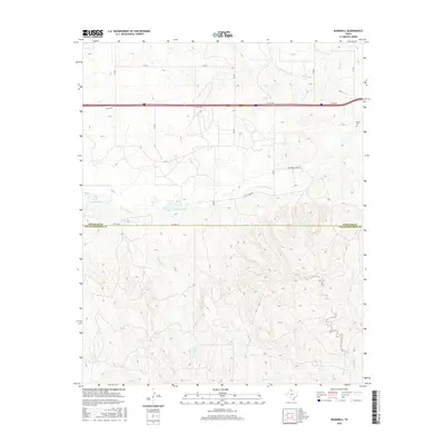
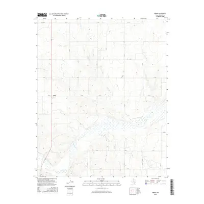
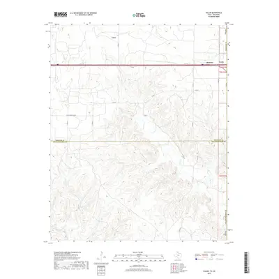
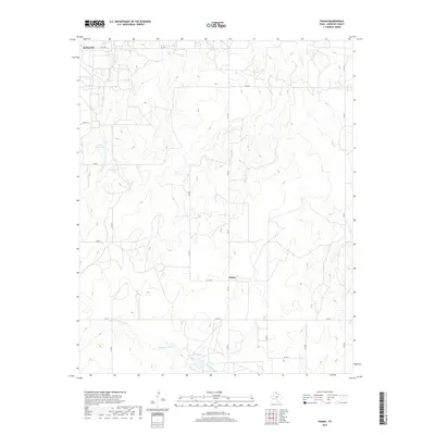
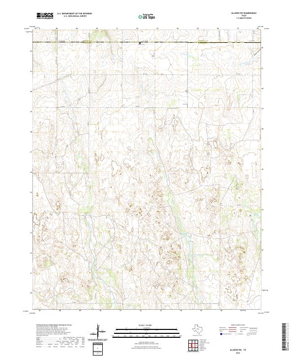
1963 Map of Allison SW
USGS Topo · Published 1985About this map
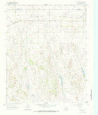
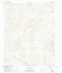
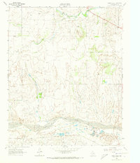
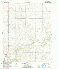
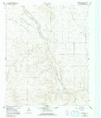
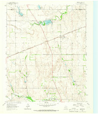
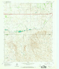
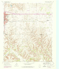
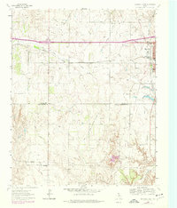
The borderlands between Hemphill Co and Wheeler Co are characterized by a rugged network of drainage systems feeding into the eastern Texas Panhandle. The landscape is defined by the incision of Goodin Creek, Coburn Creek, and Williams Creek, which carve through the high plains toward the southeast. This 1963 survey captures the rural infrastructure of the era, where transportation is anchored by the Panhandle and Santa Fe railroad corridor crossing the northern reaches. Settlement remains sparse, with the Zybach Cem serving as a primary genealogical landmark for the local community. The presence of a Flowing Well and several springs underscores the vital importance of groundwater in this semi-arid ranching country, while a solitary Gravel Pit indicates small-scale local industry focused on road building or maintenance along the county line.
Find a feature on this map
10 named features on this map. Tap any name to fly to it.
Don’t see what you’re looking for? This feature index may not catch every label — zoom into the map to look around manually.
Map Details
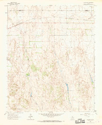
Editions of this 1963 Allison SW Map
3 editions found
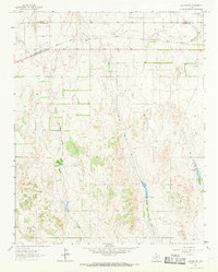
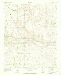
Historical Maps of Hemphill County Through Time
78 maps found
1962 Kelton SE
Wheeler County, TX
1962 Pakan
Wheeler County, TX
1962 Spring Creek
Wheeler County, TX
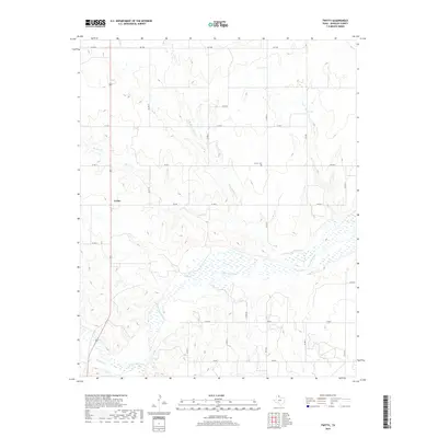
1962 Twitty
Wheeler County, TX
1962 Wheeler SE
Wheeler County, TX
1963 Allison SW
Wheeler County, TX
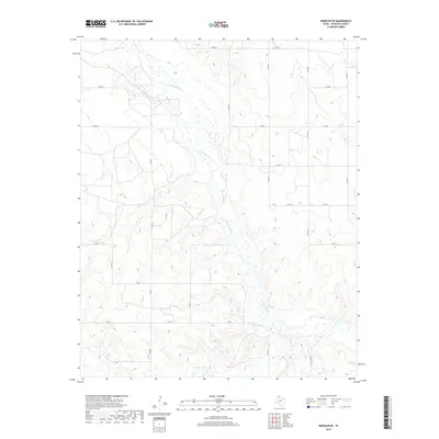
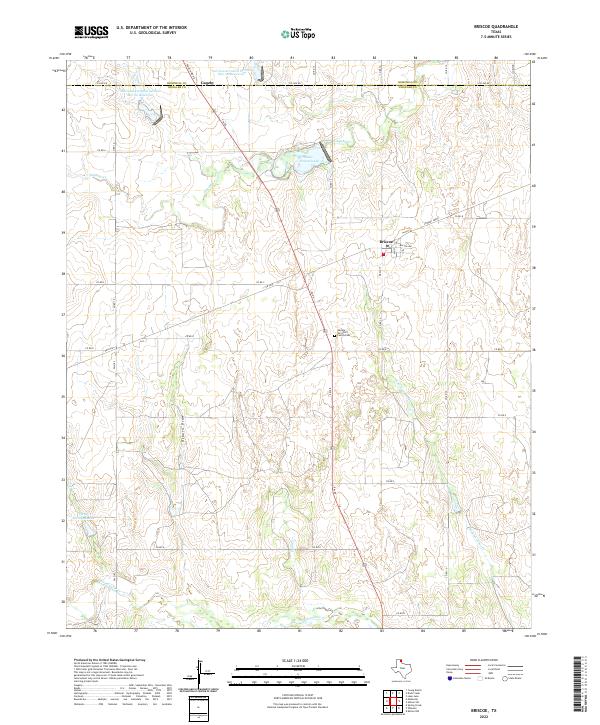
1963 Briscoe
Wheeler County, TX
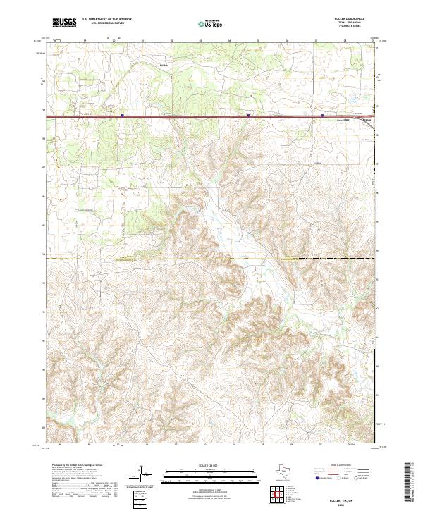
1963 Fulller
Wheeler County, TX
1963 Kelton NW
Wheeler County, TX
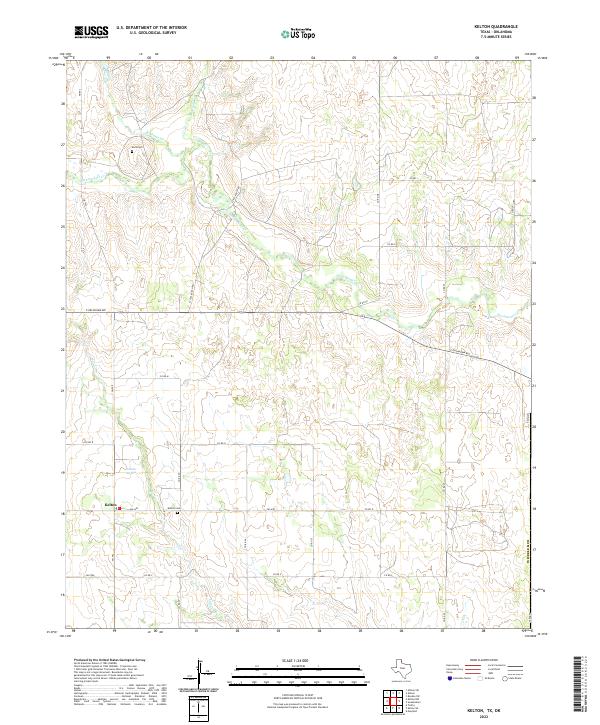
1963 Kelton
Wheeler County, TX
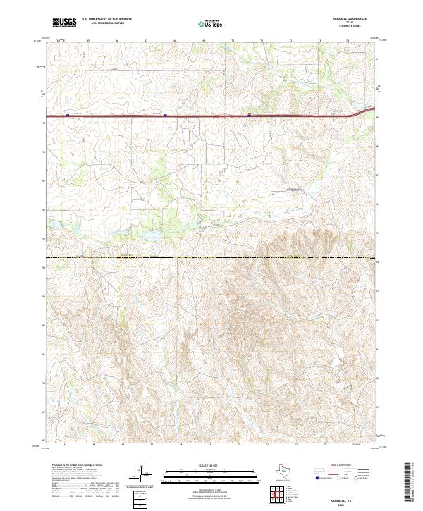
1963 Ramsdell
Wheeler County, TX
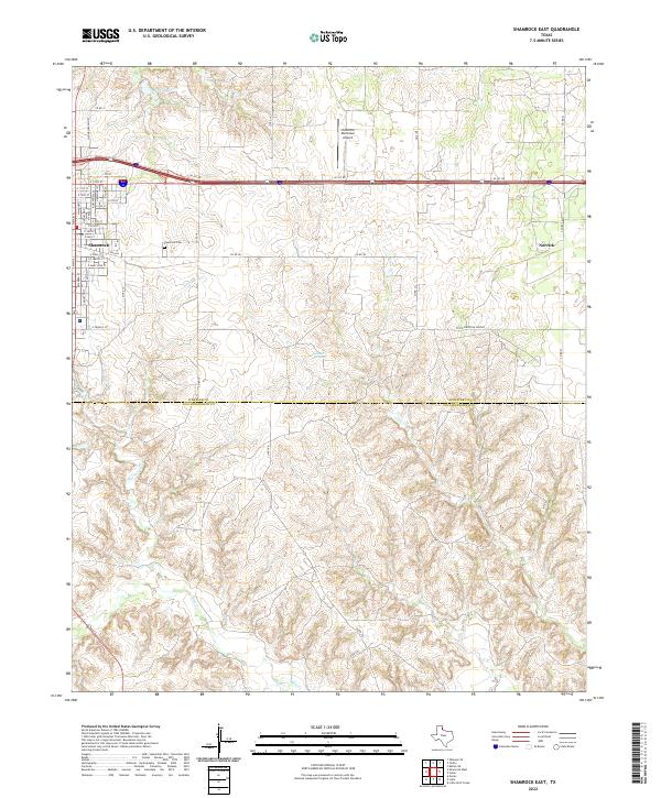
1963 Shamrock East
Wheeler County, TX
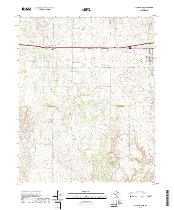
1963 Shamrock West
Wheeler County, TX
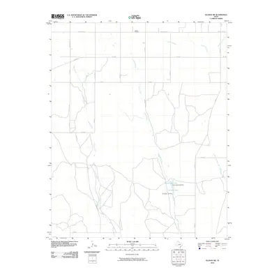
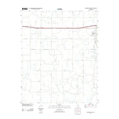
2010 Allison SW
Wheeler County, TX
2010 Briscoe
Wheeler County, TX
2010 Fuller
Wheeler County, TX
2010 Kelton NW
Wheeler County, TX
2010 Kelton SE
Wheeler County, TX
2010 Kelton
Wheeler County, TX
2010 Pakan
Wheeler County, TX
2010 Ramsdell
Wheeler County, TX
2010 Shamrock East
Wheeler County, TX
2010 Shamrock West
Wheeler County, TX
2010 Spring Creek
Wheeler County, TX
2010 Twitty
Wheeler County, TX
2010 Wheeler SE
Wheeler County, TX
2012 Allison SW
Wheeler County, TX
2012 Briscoe
Wheeler County, TX
2012 Fuller
Wheeler County, TX
2012 Kelton NW
Wheeler County, TX
2012 Kelton SE
Wheeler County, TX
2012 Kelton
Wheeler County, TX
2012 Pakan
Wheeler County, TX
2012 Ramsdell
Wheeler County, TX
2012 Shamrock East
Wheeler County, TX
2012 Shamrock West
Wheeler County, TX
2012 Spring Creek
Wheeler County, TX
2012 Twitty
Wheeler County, TX
2012 Wheeler SE
Wheeler County, TX
2016 Allison SW
Wheeler County, TX
2016 Briscoe
Wheeler County, TX
2016 Fuller
Wheeler County, TX
2016 Kelton NW
Wheeler County, TX
2016 Kelton SE
Wheeler County, TX
2016 Kelton
Wheeler County, TX
2016 Pakan
Wheeler County, TX
2016 Ramsdell
Wheeler County, TX
2016 Shamrock East
Wheeler County, TX
2016 Shamrock West
Wheeler County, TX
2016 Spring Creek
Wheeler County, TX
2016 Twitty
Wheeler County, TX
2016 Wheeler SE
Wheeler County, TX
2019 Allison SW
Wheeler County, TX
2019 Briscoe
Wheeler County, TX
2019 Fuller
Wheeler County, TX
2019 Kelton NW
Wheeler County, TX
2019 Kelton SE
Wheeler County, TX
2019 Kelton
Wheeler County, TX
2019 Pakan
Wheeler County, TX
2019 Ramsdell
Wheeler County, TX

2019 Shamrock East
Wheeler County, TX
2019 Shamrock West
Wheeler County, TX
2019 Spring Creek
Wheeler County, TX
2019 Twitty
Wheeler County, TX
2019 Wheeler SE
Wheeler County, TX
2022 Allison SW
Wheeler County, TX
2022 Briscoe
Wheeler County, TX
2022 Fuller
Wheeler County, TX
2022 Kelton NW
Wheeler County, TX
2022 Kelton SE
Wheeler County, TX
2022 Kelton
Wheeler County, TX
2022 Pakan
Wheeler County, TX
2022 Ramsdell
Wheeler County, TX
2022 Shamrock East
Wheeler County, TX
2022 Shamrock West
Wheeler County, TX
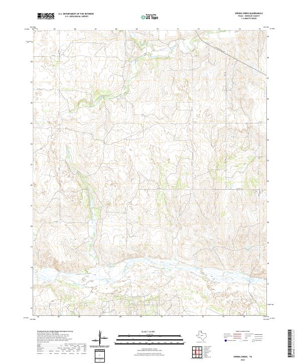
2022 Spring Creek
Wheeler County, TX
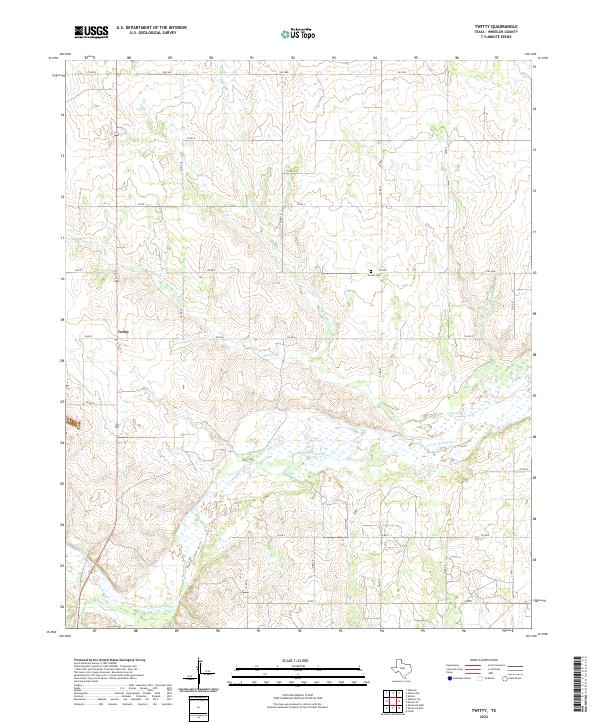
2022 Twitty
Wheeler County, TX
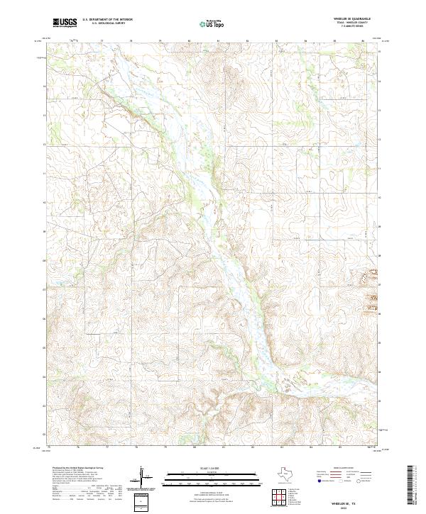
2022 Wheeler SE
Wheeler County, TX