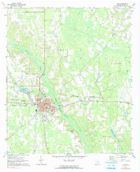
1971 Map of Alma
USGS Topo · Published 1991About this map
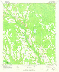
The city of Alma serves as the focal point of this Bacon County survey, showing a landscape defined by the intersection of the Seaboard Coast Line and a network of blackwater streams. Much of the eastern and northern terrain is characterized by the swampy lowlands of Hurricane Creek and Tenmile Creek, where the environment transitions between wooded wetlands and managed timber or agricultural clearings. The presence of an Old RR Grade running east from town toward Rockingham highlights a shifting transportation landscape as older rail spurs were retired or repurposed.
Find a feature on this map
32 named features on this map. Tap any name to fly to it.
Don’t see what you’re looking for? This feature index may not catch every label — zoom into the map to look around manually.
Map Details
Editions of this 1971 Alma Map
2 editions found
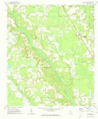
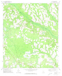
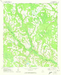
Other maps of this area

1953 · Waycross
USGS Topo · 1:250,000

1958 · Waycross
USGS Topo · 1:250,000
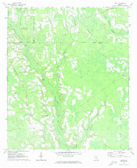
1971 · Nicholls NE
USGS Topo · 1:24,000
1971 · Coffee
USGS Topo · 1:24,000
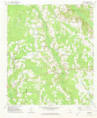
1971 · Alma NW
USGS Topo · 1:24,000
1971 · Beach
USGS Topo · 1:24,000
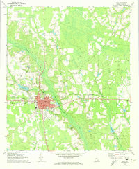
1971 · Alma
USGS Topo · 1:24,000
1971 · Sessoms
USGS Topo · 1:24,000
1971 · Mershon
USGS Topo · 1:24,000
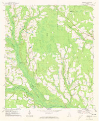
1971 · Alma NE
USGS Topo · 1:24,000