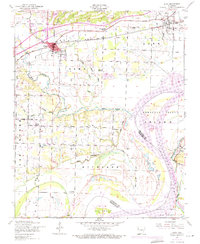
1948 Map of Alma
USGS Topo · Published 1971About this map
The Missouri Pacific railroad corridor anchors the northern portion of this Crawford County landscape, connecting the growing hub of Alma with the smaller settlement of Dyer. Just south of the rail line, Lake Alma serves as a prominent water feature near the town center. The map reveals a dense network of local history, documenting rural communities like Yoestown, Kibler, and New Town alongside several family-named burial grounds including Simmons Cemetery and Woods Cemetery.
Find a feature on this map
41 named features on this map. Tap any name to fly to it.
Don’t see what you’re looking for? This feature index may not catch every label — zoom into the map to look around manually.
Map Details
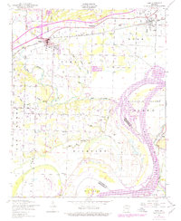
Editions of this 1948 Alma Map
2 editions found
Other maps of this area

1879 · Fort Smith
USGS Topo · 1:62,500

1887 · Van Buren
USGS Topo · 1:62,500

1890 · Fort Smith
USGS Topo · 1:125,000

1898 · Winslow #4
USGS Topo · 1:62,500

1898 · Winslow #3
USGS Topo · 1:62,500

1898 · Winslow
USGS Topo · 1:125,000

1901 · Winslow
USGS Topo · 1:125,000

1906 · Lavaca
USGS Topo · 1:62,500

1943 · Fort Smith
USGS Topo · 1:125,000

1946 · Fort Smith
USGS Topo · 1:250,000