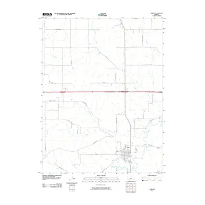
2009 Map of Alma
USGS Topo · Published 2009About this map
Alma serves as the focal point of this Wabaunsee County landscape, where the confluence of West Branch Mill Creek and South Branch Mill Creek dictates the local geography. The settlement's residential grid is clearly defined, with the Alma Cemetery situated just to the west. This map illustrates a transition in transportation history, where local routes like Old K18 Rd and Old K10 Rd are shown alongside the modern interstate corridor.
Find a feature on this map
43 named features on this map. Tap any name to fly to it.
Don’t see what you’re looking for? This feature index may not catch every label — zoom into the map to look around manually.
Map Details
Editions of this 2009 Alma Map
This is the sole edition of this map. No revisions or reprints were ever made.
Other maps of this area

1885 · Eskridge
USGS Topo · 1:125,000

1889 · Wamego
USGS Topo · 1:125,000

1889 · Eskridge
USGS Topo · 1:125,000

1894 · Eskridge
USGS Topo · 1:125,000

1894 · Wamego
USGS Topo · 1:125,000

1953 · Wamego
USGS Topo · 1:24,000

1953 · St George
USGS Topo · 1:24,000

1953 · Belvue
USGS Topo · 1:24,000
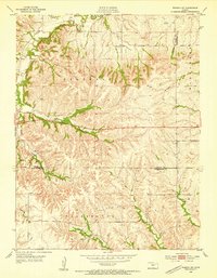
1953 · Wamego SW
USGS Topo · 1:24,000

1954 · Alma
USGS Topo · 1:24,000