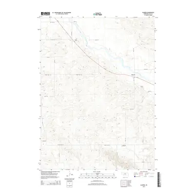
2014 Map of Almeria
USGS Topo · Published 2014About this map
The North Loup River winds through the northern portion of this Nebraska landscape, providing a fertile corridor through the distinctive terrain of Knobby Ridge. The small settlement of Almeria serves as a local hub, situated where Ne-91 meets the river valley. This rural survey reveals a network of section-line roads and named routes like Knobby Ridge Rd and Madison Square Rd, reflecting the grid-based development of Loup County. For those tracing local history or family roots, the map identifies three key burial sites: Moulton Cem to the northwest, Almeria Cem near the town center, and Madison Square Cem in the south. The combination of river-bottom land and the undulating hills of the ridge creates a varied geography defined by agricultural homesteads and quiet country crossroads.
Find a feature on this map
23 named features on this map. Tap any name to fly to it.
Don’t see what you’re looking for? This feature index may not catch every label — zoom into the map to look around manually.
Map Details
Editions of this 2014 Almeria Map
This is the sole edition of this map. No revisions or reprints were ever made.
Other maps of this area

1951 · Walworth
USGS Topo · 1:24,000

1951 · Milburn
USGS Topo · 1:24,000

1952 · Taylor NW
USGS Topo · 1:24,000

1952 · Almeria NE
USGS Topo · 1:24,000

1952 · Sargent West
USGS Topo · 1:24,000

1952 · Almeria NW
USGS Topo · 1:24,000

1952 · Almeria SW
USGS Topo · 1:24,000

1952 · Almeria
USGS Topo · 1:24,000

1952 · Taylor
USGS Topo · 1:24,000

1955 · Broken Bow
USGS Topo · 1:250,000