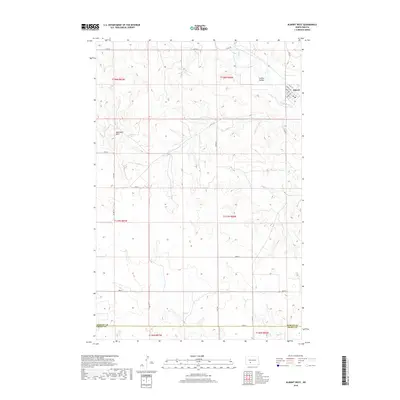
2018 Map of Almont West
USGS Topo · Published 2018About this map
The settlement of Almont occupies a prominent position in the northeast corner of this Morton County survey, situated where the Curlew Valley meets the drainage of Big Muddy Cr. This 2018 study reveals a town structure defined by streets such as Dakota Ave, Burt Ave, and Margaret St, centered around a local Po. To the west, the landscape transitions into the high ground of the Ramsland Hills, while the southern reaches of the map are defined by the section lines of the Public Land Survey System as they cross the boundary between Morton and Grant Counties. The mapping of arterial roads like Co Rd 137 and Co Rd 138 illustrates the connective infrastructure that links these high plains ranches and farms to the regional center at Almont.
Find a feature on this map
26 named features on this map. Tap any name to fly to it.
Don’t see what you’re looking for? This feature index may not catch every label — zoom into the map to look around manually.
Map Details
Editions of this 2018 Almont West Map
This is the sole edition of this map. No revisions or reprints were ever made.
Other maps of this area

1954 · Bismarck
USGS Topo · 1:250,000

1958 · Bismarck
USGS Topo · 1:250,000

1960 · North Almont
USGS Topo · 1:24,000

1960 · Dengate
USGS Topo · 1:24,000

1960 · New Salem
USGS Topo · 1:24,000

1980 · Otter Creek West
USGS Topo · 1:24,000

1980 · Crown Butte Creek NW
USGS Topo · 1:24,000

1980 · Crown Butte Creek SE
USGS Topo · 1:24,000

1980 · Almont East
USGS Topo · 1:24,000

1980 · Crown Butte Creek SW
USGS Topo · 1:24,000