
1960 Map of New Salem
USGS Topo · Published 1961About this map
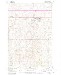
New Salem serves as the primary hub on this map, situated along the Northern Pacific railroad at a time when the region's infrastructure was transitioning. To the north, a significant highway is marked as under construction, cutting through the high ground of Engelter and Caribou townships. The local geography is defined by a series of prominent peaks and drainages, including School Hill and Gaebe Hill, which rise above winding waterways like Cut Bank Creek and Crooked Creek.
Find a feature on this map
26 named features on this map. Tap any name to fly to it.
Don’t see what you’re looking for? This feature index may not catch every label — zoom into the map to look around manually.
Map Details
Editions of this 1960 New Salem Map
2 editions found
Other maps of this area

1954 · Bismarck
USGS Topo · 1:250,000

1958 · Bismarck
USGS Topo · 1:250,000

1960 · North Almont
USGS Topo · 1:24,000

1970 · Bluegrass
USGS Topo · 1:24,000

1970 · New Salem NW
USGS Topo · 1:24,000

1970 · Judson
USGS Topo · 1:24,000

1970 · New Salem NE
USGS Topo · 1:24,000

1980 · Green Ridge
USGS Topo · 1:24,000

1980 · Almont East
USGS Topo · 1:24,000
1980 · Almont West
USGS Topo · 1:24,000