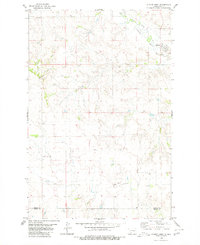
1980 Map of Almont West
USGS Topo · Published 1980About this map
Almont sits at the edge of the Curlew Valley, where the drainage of Big Muddy Creek shapes the local topography. This 1980 edition captures a predominantly rural landscape at the border of Morton and Grant counties, characterized by scattered water sources labeled as Well and Wells across the plateau. The terrain is defined by the Ramsland Hills in the northwest, a series of elevations that give way to the lower valley floor near the settlement. Industrial and resource-based activities are evidenced by markings for Prospects and a Gravel Pit, indicating small-scale excavation and mineral exploration typical of the region's mid-century development. The map also includes fine details such as selected fence lines, which provide a rare look at the precise boundaries of land use and property management during this era in western North Dakota.
Find a feature on this map
9 named features on this map. Tap any name to fly to it.
Don’t see what you’re looking for? This feature index may not catch every label — zoom into the map to look around manually.
Map Details
Editions of this 1980 Almont West Map
This is the sole edition of this map. No revisions or reprints were ever made.
Other maps of this area

1954 · Bismarck
USGS Topo · 1:250,000

1958 · Bismarck
USGS Topo · 1:250,000

1960 · North Almont
USGS Topo · 1:24,000

1960 · Dengate
USGS Topo · 1:24,000

1960 · New Salem
USGS Topo · 1:24,000

1980 · Otter Creek West
USGS Topo · 1:24,000

1980 · Crown Butte Creek NW
USGS Topo · 1:24,000

1980 · Crown Butte Creek SE
USGS Topo · 1:24,000

1980 · Almont East
USGS Topo · 1:24,000

1980 · Crown Butte Creek SW
USGS Topo · 1:24,000