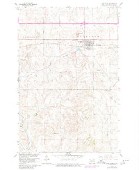
1960 Map of New Salem
USGS Topo · Published 1980About this map
New Salem serves as a primary hub for this portion of Morton County, situated along the vital Northern Pacific railroad line. The settlement landscape is defined by its relationship to the rail corridor and the undulating prairie, with Graceland Cem and School Hill marking the local topography. Further south, the map reveals the older footprints of development, including Sims and its associated Sims Cem, which sit near an Old Railroad Grade and Hailstone Creek.
Find a feature on this map
23 named features on this map. Tap any name to fly to it.
Don’t see what you’re looking for? This feature index may not catch every label — zoom into the map to look around manually.
Map Details
Editions of this 1960 New Salem Map
2 editions found
Other maps of this area

1954 · Bismarck
USGS Topo · 1:250,000

1958 · Bismarck
USGS Topo · 1:250,000

1960 · North Almont
USGS Topo · 1:24,000

1960 · New Salem
USGS Topo · 1:24,000

1970 · Bluegrass
USGS Topo · 1:24,000

1970 · New Salem NW
USGS Topo · 1:24,000

1970 · Judson
USGS Topo · 1:24,000

1970 · New Salem NE
USGS Topo · 1:24,000

1980 · Green Ridge
USGS Topo · 1:24,000

1980 · Almont East
USGS Topo · 1:24,000