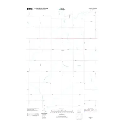
2013 Map of Alpha
USGS Topo · Published 2013About this map
The settlement of Alpha and the rural community of Richfield anchor this portion of Fayette County, where the agricultural landscape is shaped by a distinct network of waterways. The Little Wapsipinicon River meanders through the southern and western sections, while the Volga River drainage defines the eastern side of the quadrangle. These river systems, along with tributaries like Haugh Cr and Marsh Cr, historically dictated the placement of early homesteads and road networks in this part of Iowa. The map reveals a strictly regulated grid of section-line roads, including Johnsons Mill Rd and Xavier Rd, which cut across the natural curves of the river valleys. This 2013 survey provides a clear view of the modern rural infrastructure, showing how modern county roads like Y Ave and Vanderbilt Ave maintain the historic boundaries established during the state's initial settlement.
Find a feature on this map
37 named features on this map. Tap any name to fly to it.
Don’t see what you’re looking for? This feature index may not catch every label — zoom into the map to look around manually.
Map Details
Editions of this 2013 Alpha Map
This is the sole edition of this map. No revisions or reprints were ever made.
Other maps of this area

1901 · Oelwein
USGS Topo · 1:125,000

1906 · Decorah
USGS Topo · 1:125,000

1954 · Mason City
USGS Topo · 1:250,000

1954 · Waterloo
USGS Topo · 1:250,000

1955 · Waterloo
USGS Topo · 1:250,000

1957 · Mason City
USGS Topo · 1:250,000

1958 · Mason City
USGS Topo · 1:250,000

1958 · La Crosse
USGS Topo · 1:250,000

1959 · Dubuque
USGS Topo · 1:250,000

1961 · Dubuque
USGS Topo · 1:250,000